Happy 50th Birthday, Marquam Bridge
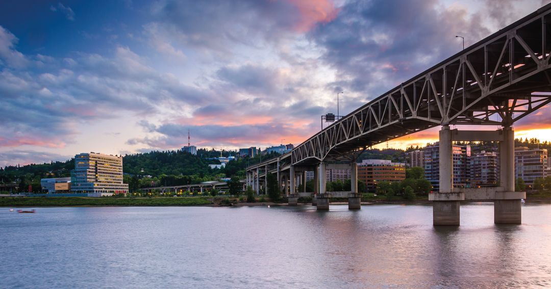
Image: Courtesy Shutterstock
Q&A: Robert Hadlow
Senior historian, Oregon Department of Transportation
Why did they build this thing in the first place? It connects up a whole lot of roads and several highways when it crosses the Willamette. You have Sunset Highway coming in, I-405, it connects up with I-5 north and south of town, and it gets people over to I-84. Governor [Mark] Hatfield established 1966 as the year Oregon would complete I-5, and this bridge was one of those very important links in completing that commitment. By October 1966, the entire I-5 was completed through the state of Oregon.
Where did the name come from? Some folks attribute the bridge’s name to Philip Marquam, who was a local transportation advocate. All the research we’ve done demonstrates that the state named the bridge after Marquam Gulch, not Marquam himself. It’s named after the location where it starts to spring across the river.
Were there any other proposed designs? The Oregon State Highway Department’s bridge engineers designed the structure, and they looked at a couple of different types of bridges. One was a girder bridge and the other was a truss. They settled on the truss because of the great distances they had to overcome in getting across the river, with a limited number of piers and a side channel. It worked best for a double-deck structure, and that’s what we have today.
Portland's Ugliest Bridge?
Designed by the Oregon Department of Transportation with little public input, the bridge was controversial from the beginning. Lambasted for its cheap, concrete appearance, and unsightly straight lines, the bridge opened with little fanfare. The Portland Art Commission lodged a formal protest, calling it “the Erector Set” bridge. It was, in their words, “so gross, so lacking in grace, so utterly inconsistent with any concept of aesthetics.” The commission would go on to design the city’s next bridge, the Fremont in 1973, at about six times the cost of the Marquam. (Quality doesn’t come cheap.)
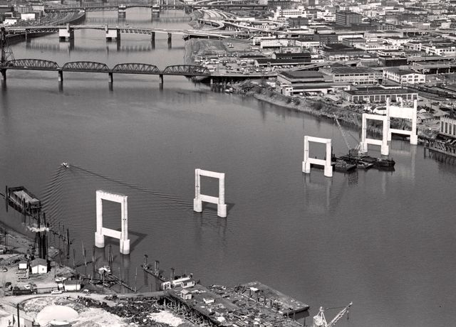
Image: Courtesy City of Portland
Highway to Nowhere
Ever wonder why the Marquam Bridge just ends at its low-level southbound lane? Or why the ramp to I-405 exits on the left, not the right? These ramps and seemingly strange design decisions are remnants of the canceled Mount Hood Freeway, which was originally planned to run through Southeast Portland, cut through Gresham and end in the city of Sandy. The Oregon Department of Transportation was inspired by a proposal from New York city planner Robert Moses, which envisioned a freeway system that separated traffic from pedestrians and public transit, similar to the modern downtown highway loop of today. Much like the Marquam Bridge, the freeway was a victim of public backlash and was canceled in 1974 with its groundwork already having been laid.