How Oregon Is Fighting Wildfires with Technology
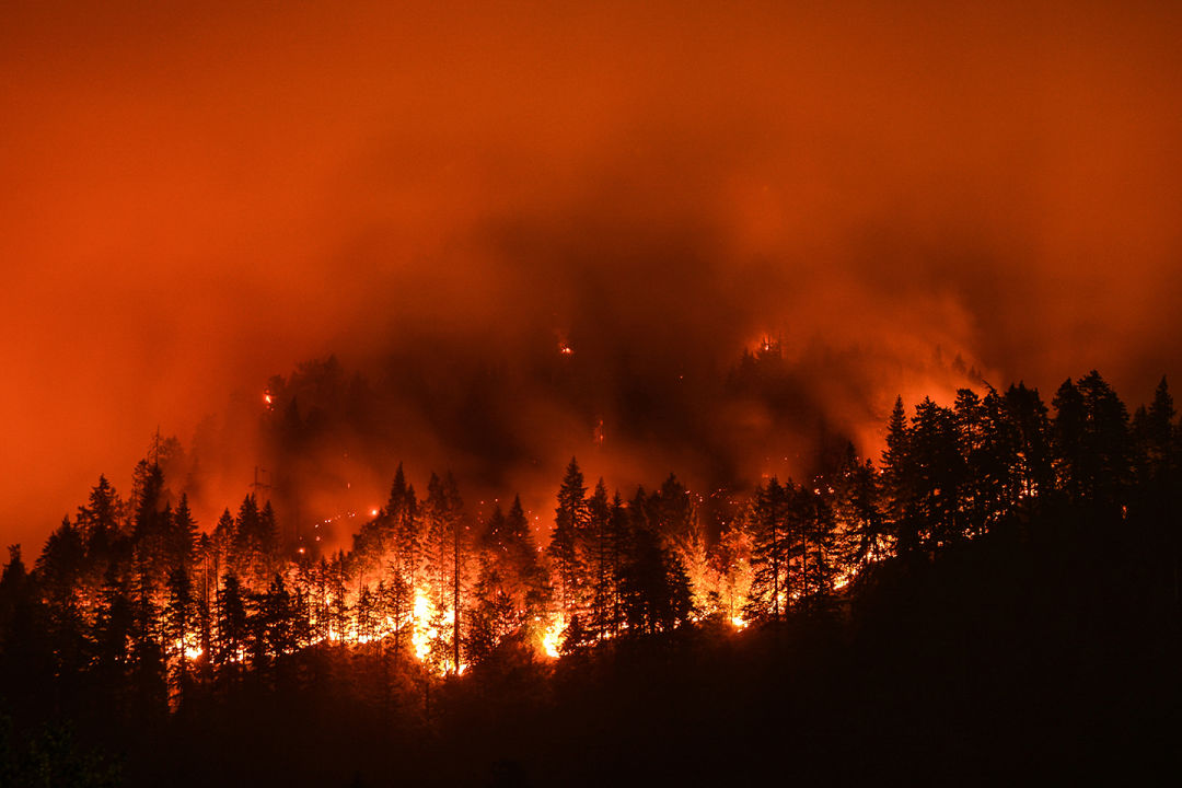
After a year of historic wildfires, we're looking at how Oregon fights against these natural disasters. From night vision cameras to satellites to the humble iPhone, a look behind the scenes at some.
The Oregon Department of Forestry has been busy. As wildfires raged across Oregon in 2020, the agency was tasked once again with keeping them under control. A lot of industries turn to the latest tech to help with the latest crises, but the forestry department is not exactly an early adopter.
“We started using aerial photography [for wildfires] in 1919 with World War I planes. But a lot of the early ones crashed,” says Jim Gersbach, a spokesperson for ODF. “There’s the research experimental phase before it becomes a practical tool. We look to the federal government to do that kind of proving, for when a technology is battle-ready. You don’t just acquire toys. You want to make sure it works.”
Still, some of ODF’s new tools are indeed cutting-edge. Here’s how the department is fighting Oregon wildfires on its 30 million acres of forestland.
The Tech
The 747 Supertanker
The famous McMinnville-invented Supertanker carries 19,600 gallons of water or flame-retardant liquid and dumps it on a fire. While it’s effective—so-called “aerial attack” is among ODF’s greatest weapons—the giant planes are expensive, rare, and in-demand worldwide. (The latest Supertanker, the third iteration from now-defunct Evergeen Aviation, has done firefighting tours everywhere from Israel to California to Bolivia.) More commonly, ODF contracts with around two dozen private aircraft—from small planes and helicopters to larger craft—for the duration of fire season for information gathering and aerial attack. Depending on availability, the department might hire additional planes.
Thermal Imaging
First deployed in the 2017 Eagle Creek fire in the Gorge, ODF’s single-engine Partenavia plane now sports a high-powered infrared camera that can pinpoint hot spots through smoke and at night. Knowing where a fire is and how hot it is burning is crucial to directing ground crews and keeping them safe. “Often you’re fighting fires in forests with thick canopies,” says Gersbach. “To put firefighters in there without visibility can be dangerous.”
Night Vision
Fighting fires continues 24 hours a day. First tested in Eastern Oregon in summer 2019, ODF’s plane also has a night vision camera on board, which allows coordinators to see the ground crews from above, and generally allows for safer night runs.
Real-Time GIS Mapping
Long gone are the days of guessing how big a fire is. Data gathered from different airplanes can now be used to stitch together accurate maps, allowing ODF and local authorities to see on a very large scale in real time where fires are burning. This means resources can be deployed where they’re needed most. “You don’t want these expensive resources in the wrong place; you want to put them where they do the most good,” says Gersbach. “It helps the efficiency of the firefighting effort. And you make it safer.”
Drones
Yes, ODF relies heavily on aviation to fight fire, but drones are a double-edged sword. During this year’s fires, ODF officials were forced to publicly plead with hobbyists to ground their personal drones, which were grabbing photos and videos of the smoke and devastation for social media. “They can actually cause collisions. It’s a very real safety concern,” says Gersbach. “Generally the air over a fire these days is pretty busy, because we’re combining air attack with ground resources. The last thing you want to do is to fly a drone into that space.”
Still, drones will have a role in the future of firefighting, even if their impact is minimal right now in Oregon. “A lot of these things start out as military and then have more civilian applications,” says Gersbach. “You can stop and hover, you can swoop. Fire managers like to see what’s going on. A lot of these technologies are designed to provide a clearer view of what the fire is doing and what your resources are doing.”
Satellites
This fall, one of NASA’s Earth-facing research satellites, Aqua, captured now-famous images of smoke from western wildfires blanketing a giant swath of the continent. Such images serve a real purpose. NASA monitors satellite imagery for wildfires and conveys information directly to state and local agencies like ODF, giving it an overview of the damage and spread of fires that would be impossible with low-flying aircraft.
Prescribed Burns
Fight fire with fire, right? An effective tool to reduce the intensity and the amount of smoke produced by wildfire is a controlled burn, designed to reduce the amount of fuel in high-risk areas. But burns and mechanical thinning of forests are expensive, and often require the buy-in of local communities. They also take a lot of preplanning: “You can’t just throw a match in an overcrowded forest and hope it goes back to where it was 100 years ago,” says Gersbach.
Smartphones
While radio continues to be a common and reliable way for firefighters to communicate, Gersbach points to a common device that’s having a big impact: “The iPhone—we’re utilitizing it more and more. Being able to take a picture [of] what you’re talking about is a huge advantage [in the field].” With that, ODF also now hires cell phone towers that are mobile—trucks providing data service into active areas.


