Mount Defiance
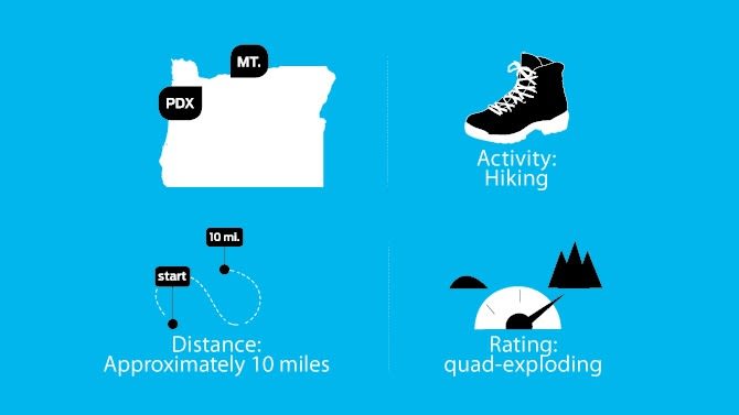
Image: Michael Novak
WHY IT’S GREAT Twenty-five years ago, the Columbia River Gorge National Scenic Area gave federal protection to nearly 300,000 acres of tumbling waterfalls, mossy canyons, and sun-soaked plateaus on both sides of the Columbia. The top of Mount Defiance—at 4,959 feet, the Gorge’s highest point—provides the perfect place to appreciate that decision’s wisdom. Viewpoints along the switchbacking path include Mounts St. Helens, Rainier, and Adams, as well as the Gorge’s Dog Mountain and Wind Mountain, and what seems like the entire 85-mile length of the National Scenic Area. A hiker must earn this visual bounty, however—the summit trail catapults nearly a vertical mile. High-alpine meadows fringed with glacier lily, shooting stars, buttercups, and, at the mountain’s crest, whopper views of Mount Hood provide some distraction during the long march. Even if you can’t stomach Defiance’s climb, take heart: the slightly more moderate Starvation Ridge Trail breaches a hive of waterfalls, any one of which provides an ideal setting for a 25th anniversary party.
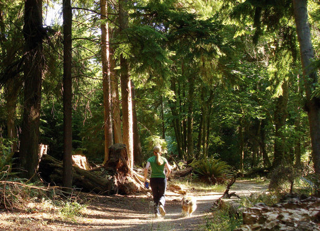
Image: Jen Chushcoff
DON’T FORGET Portland’s Friends of the Columbia River Gorge routinely lead both member-exclusive and public hikes, as well as annual stewardship events, throughout the Gorge scenic area. gorgefriends.org
POST-HIKE WATERING HOLE The Waucoma Club Set inside the former Waucoma Hotel, erected in 1904, the Waucoma Club’s long, mahogany-toned bar boasts 15 microbrews on tap and fresh-squeezed cocktails. Order grilled flatbread and hummus, organic burgers, and saucy pork sliders while you wait for the band to start. 207 Cascade Ave, Hood River; 541-387-2583; waucomaclub.com
TRAILHEAD DIRECTIONS From Portland, head east 52 miles on Interstate 84 to exit 55 for Starvation Creek State Park. The trailhead is located directly off the highway. No parking pass required.