A Guide to Hiking the Tillamook Spits
Ample helpings of natural beauty and human history run up and down the Tillamook coast. Two of the most interesting examples, and ones that offer great day-hike opportunities, are Netarts Spit and Bayocean Spit. One is accessible at low tide; the other became more accessible after changing tides swallowed up a resort community. Here's your guide:
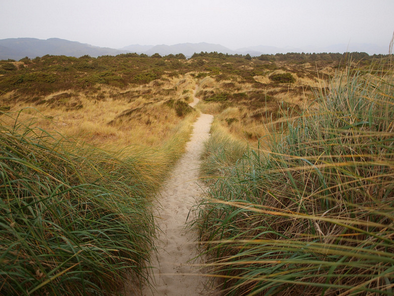
The trail between the bay and the ocean on Bayocean Spit
Image: Tillamook Coast
Bayocean Spit
The Bayocean Spit is an eclectic stretch of dunes, trees, and understory that is a sand-based dividing line between the Tillamook Bay and the Pacific Ocean. In the early 1900s, it was where a wide-eyed developer envisioned the “Atlantic City of the West.” Those plans were ill-fated, however, and as the spit recessed and reformed, many of the buildings that were constructed near the shore were claimed by the sea or rendered unsafe.
In 1954, the spit washed out and became an island, and in 1960, the last remaining home was destroyed. Today very little remains of the former town. Nevertheless, the spit has rewritten its geography, and if you are in the market for a surprisingly diverse, customizable coast hike that is easy on elevation gain, this is it.
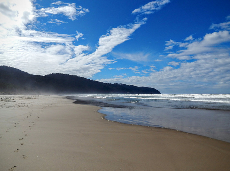
A 7.8-mile loop will take you around the whole thing, but there are plenty of shorter options. Thanks to a number of marked trails that cut across the spit from the gravel road of the bay side over to the beach, you can easily extend or pull the chute on your outing rather easily based on how your contingent is feeling.
Starting up the gravel road from the parking area, enjoy the view across the bay into the towns of Tillamook and Garibaldi. The road soon enters the trees and the path winds and ascends briefly before meeting the bay again. The character of the walk changes numerous times as you pass by shore pine, spruce, and alder trees beset by salal, sword fern and Scots broom. You will walk by a handful of marked trails leading across the spit before reaching the jetty and crossing over to the beach side.
From there, you will enjoy a wide-open walk down the beach with views of Cape Meares off in the distance. The beach is often uncrowded—a reminder of why Bayocean Spit is a favorite getaway for locals.
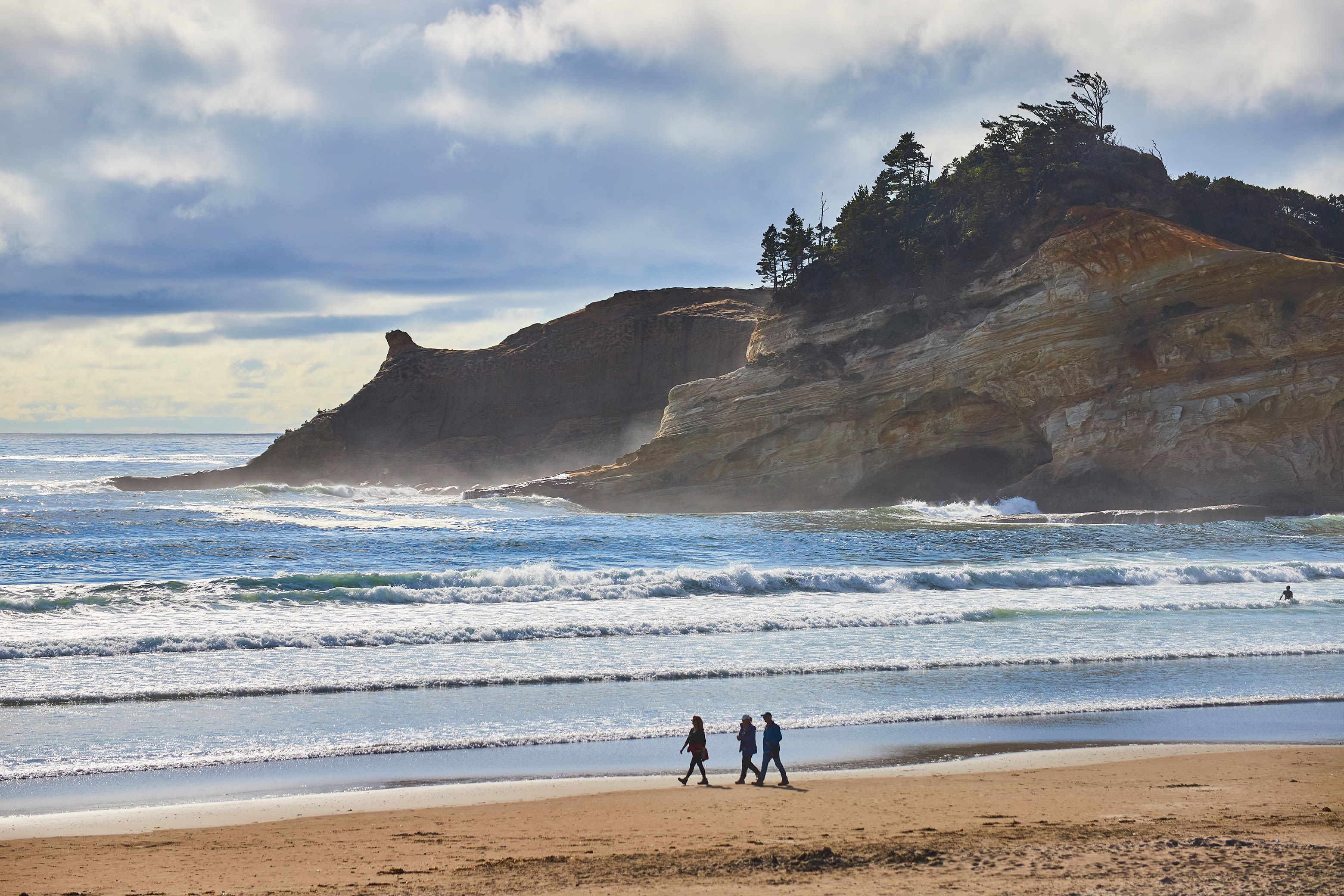
Looking toward Cape Lookout from Netarts Spit
Image: Tillamook Coast
Netarts Spit
In the native language of the Tillamook tribe, “Ne ta at” loosely translates to “near the water.” It's a very fitting description for an area that would later adopt a morphed version of the phrase for a name—Netarts. Dating back to the early 1400s, the earliest known Tillamook settlement in the area was in Netarts. And the largest occupation was on the Netarts Spit.
The Netarts Spit is a roughly 5-mile long stretch of sand and vegetation that helps form the Netarts Bay. Accessible from Cape Lookout State Park, the spit offers great views of the bay, the town of Netarts, and the Pacific Ocean. It's also one of the great hiking spots on the Tillamook Coast. The beach along the ocean side of the spit is laden with sand dollars, though finding one intact can be a challenge, depending on the time of year. But the stands of Sitka spruce, shore pine, and willow form an oasis of flora down the spit's spine.
A 10-mile round trip hike along the narrow spit is best done at low tide, and leaves from the day use area near Cape Lookout Park’s campground. Once out on the spit, a network of trails and game paths weave through the middle. The views get better the farther you walk, with the villages of Netarts and Oceanside and the Three Arch Rocks looming close at the end of the spit. Return the way you came, and with any luck you'll arrive back at the car with some great photos—and a sand dollar or two.