Hike of the Month: Crown Zellerbach Trail
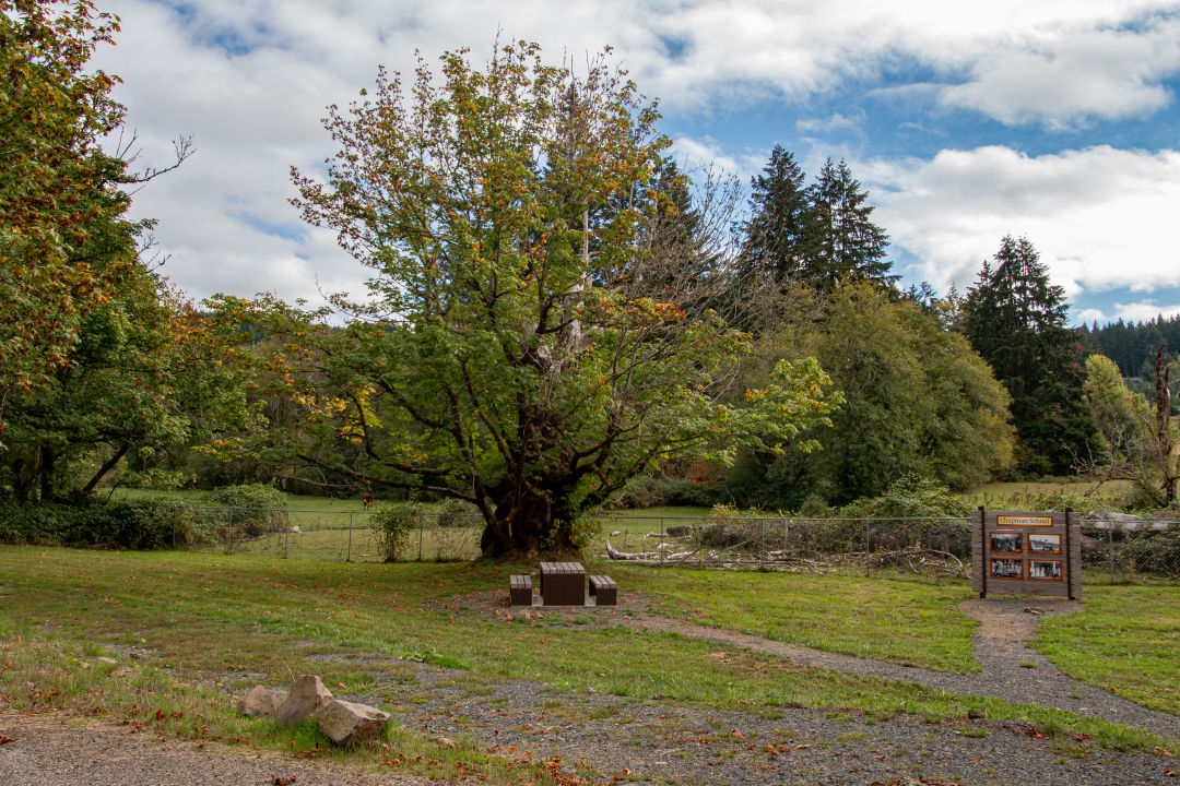
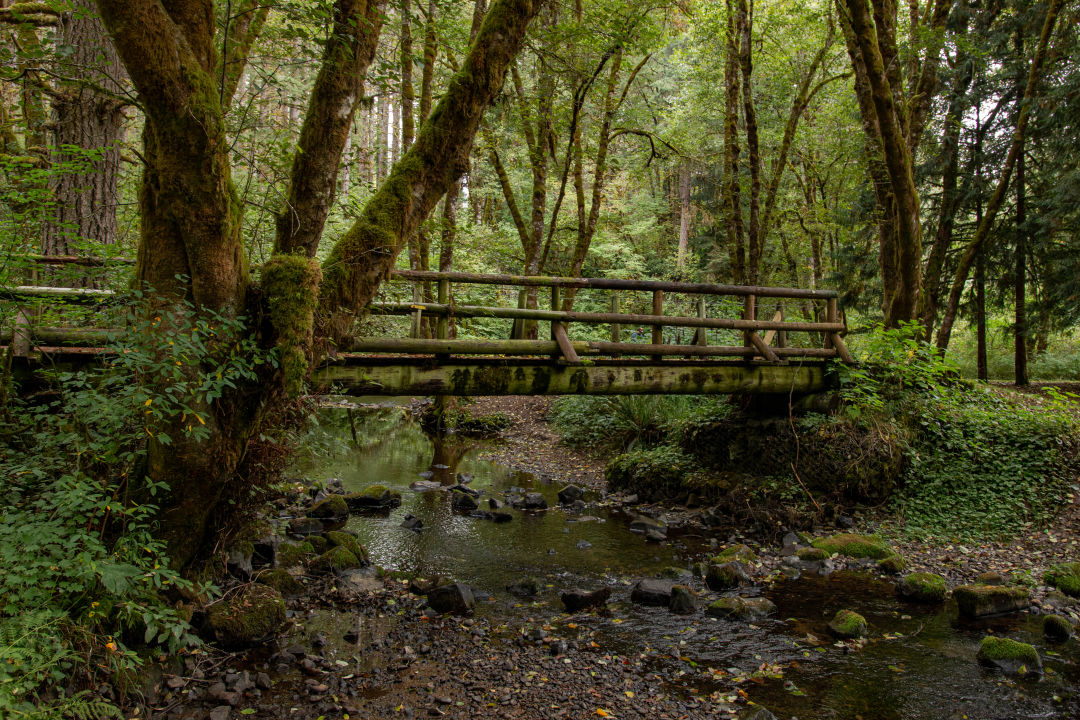
The Crown Z Trail near the Ruley Trailhead
Image: Gabriel Granillo
I’ll preface this “hike” with the fact that I recently sprained my ankle. “How?” nobody asks. Well, it involves my ankle and a giant metal thermos near a basketball court.
When your job is predicated on being well enough to hike, walk, step over, and climb, (and then go home and write about all of that) having a bad ankle puts you in a peculiar position. So where to go and what to do? How about a 23-mile out-and-back hike just 40 minutes north of Portland?
Stretching from Scappoose to forested areas of Columbia County, the Crown Zellerbach Trail is a friendly year-round trail with a history that harkens back to the early 20th century when it was a railroad line that provided timber for loggers in camps between the Multnomah Channel and the Nehalem River in Vernonia. Now, the Crown Z, open to hikers, bicyclists, and horseback riders, snakes through several small communities and parallels the Scappoose-Vernonia Highway, allowing visitors to choose the length of their own adventure with numerous entry-point trailheads along the way.
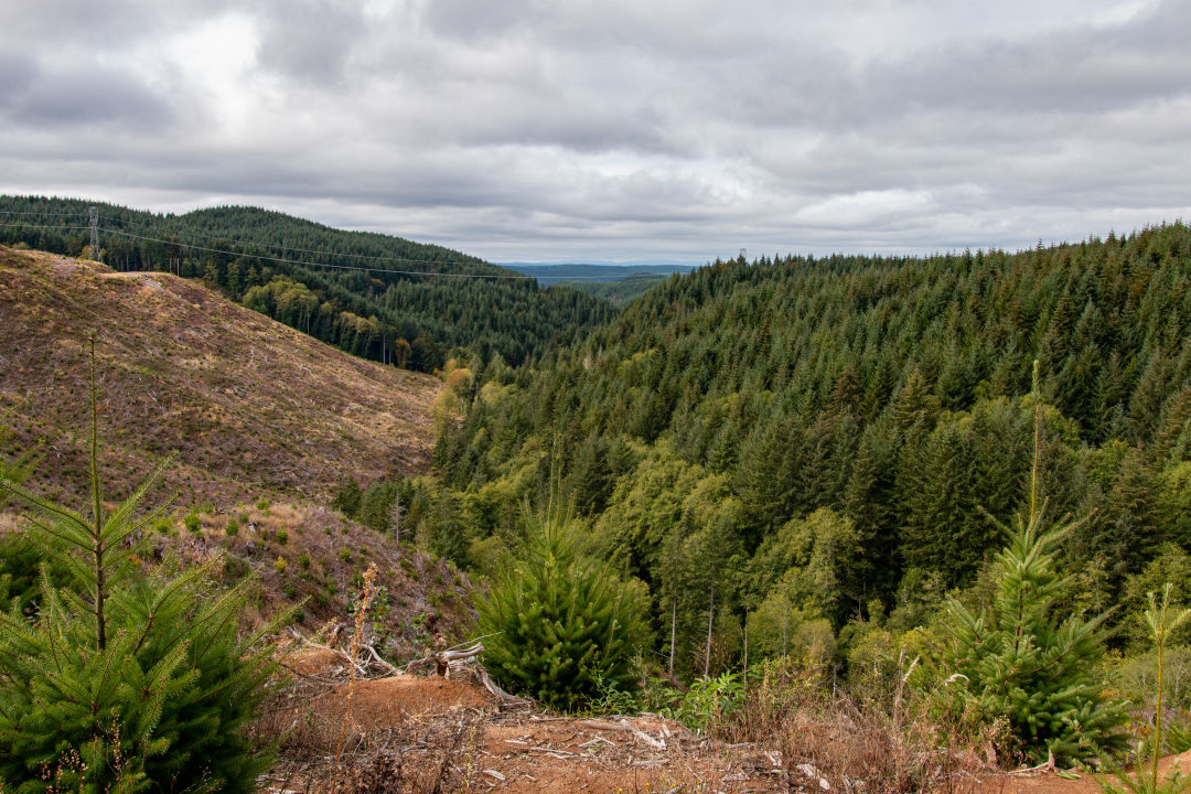
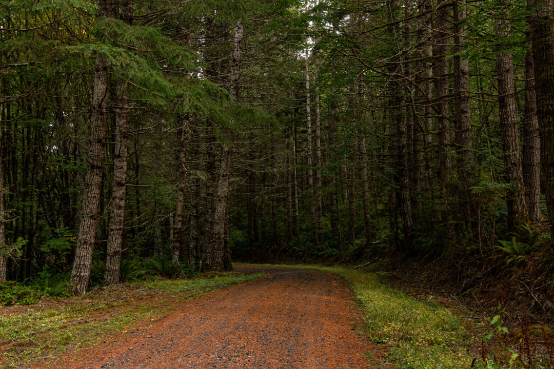
A viewpoint along the Scappoose-Vernonia Highway
Image: Gabriel Granillo
For folks with nowhere to be, families, or travel writers with a bad ankle, this trail provides great opportunities to stop along its many trailheads, observe the historical markers and educational kiosks provided by the Columbia County Historical Society and Museum Association, and venture out on short hikes. At most trailheads, highway noise is a factor, but when portions of the trail brings you up (elevation gain is a modest 1,200 feet at a casual pace) and into the forest, the sound softens into cooing birds and rustling trees. If that's your jam, start at Nehalem and head down to Ruley for a four-mile excursion, ending at a recently renovated outdoor museum.
The Crown Z officially begins at the Chapman Landing Trailhead, but I started out on the Floeter Trailhead, about 15 or so miles down the Scappoose-Vernonia Highway, and from there ventured out to Scaponia Park, which has an apparent history prime for spooky season. The seven-acre first-come-first-serve county campground is located just off the highway, opposite to the Crown Z Trail, so take caution if crossing over. (Note that if you’re parking at the campgrounds there is a $5 cash entry fee.) Legend has it that the park is haunted by an old horse thief and his dog, and on certain nights campers can spot a shadowy figure wandering about the site.
A footbridge at Scaponia Park, where an 1800s horse thief and his canine companions apparently haunt the grounds.
Image: Gabriel Granillo
Though while traversing the short, densely forested hikes around the site, I in fact did not see an apparition in the shape of a man and his canine companion, I did run into many spiders creeping about the tall grass and moss ridden trees reaching out from the ground like rotting skeleton hands from a graveyard. In the early morning, the Douglas Firs still half-covered in looming fog and the sun still drenched in clouds, the trails seem to round off into darkness.
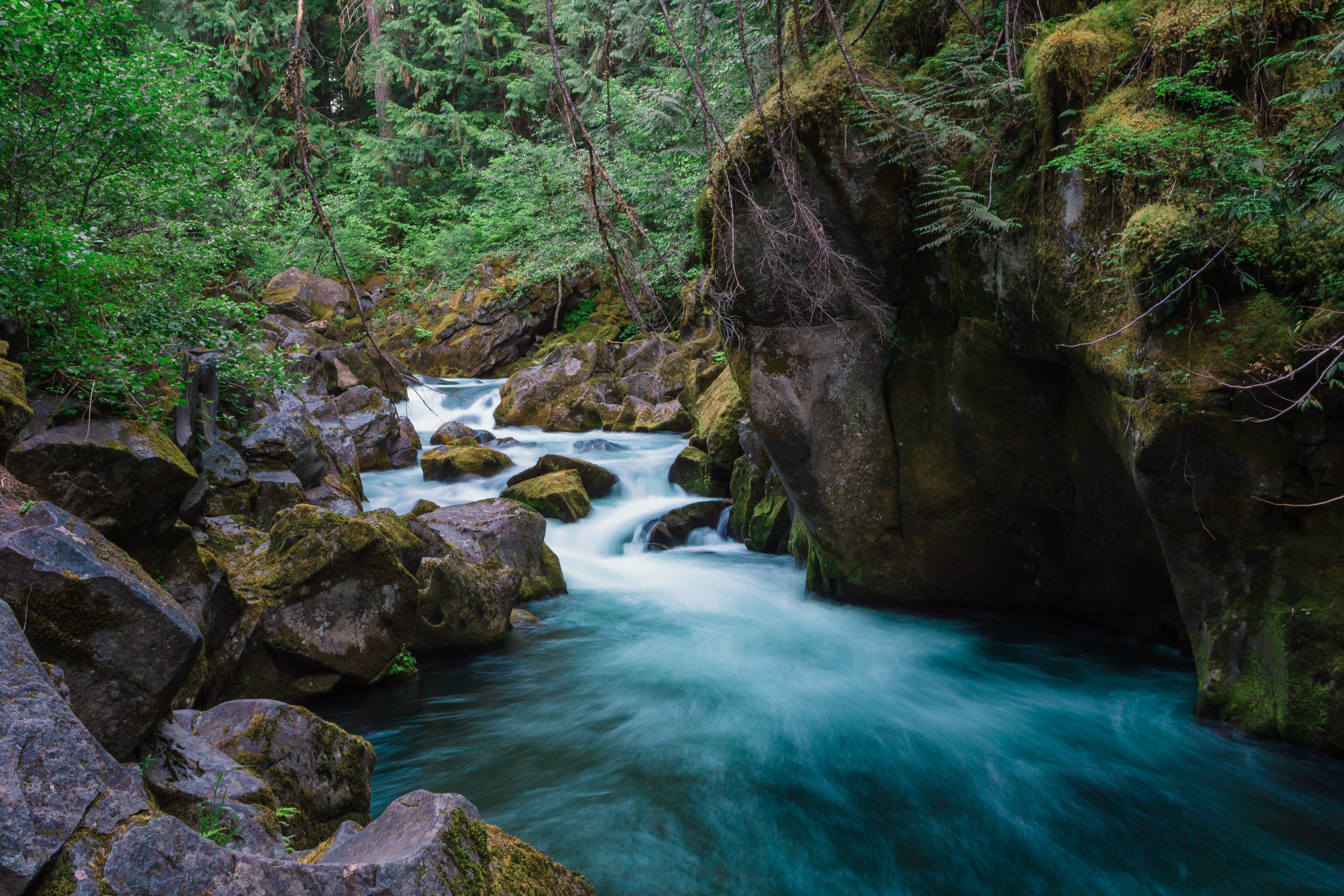
Along the Crown Z Trail
Image: Gabriel Granillo
From deep within the forest, it felt as if something might be watching me. Spooky indeed. But perhaps I’ve been watching too much Midnight Mass. At about noon the clouds began to dissipate, and fall colors and cute critters revealed themselves along the last two miles of the Crown Z trail. Beetles and spiders and woolly bear caterpillars evaded my footfall, but some were kind enough to let me snap a quick photo.
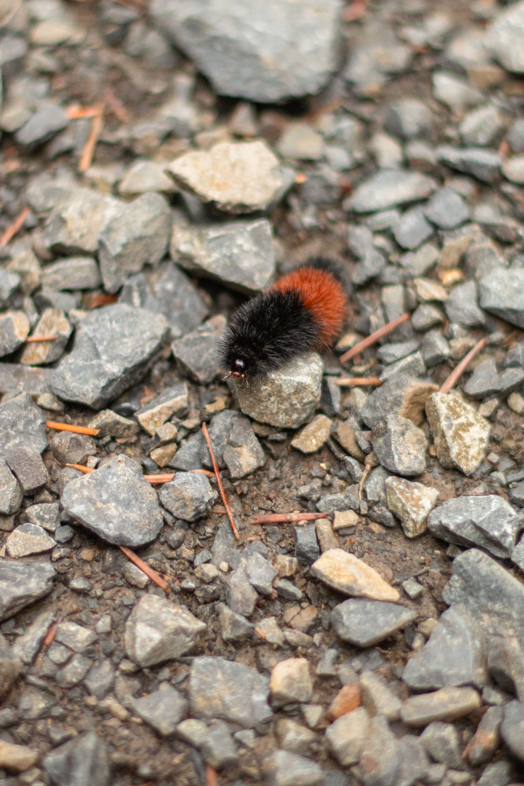
A woolly bear caterpillar along the Crown Z Trail
Image: Gabriel Granillo
Once I reached the end of the trail, which takes you near the Nehalem River and Vernonia Lake, I circled back to my car and ambled my way down the highway, stopping at various viewpoints and trailheads here and there for quick side quests and photo ops. Hikers with time and a little endurance are treated to fun surprises along the way, like Bonnie Falls, the Nehalem Divide Railroad Tunnel, and, on clear days, distant views of Mount Hood, Helens, Adams, and Rainer.
During my hike/drive, autumn had just begun to awaken, spotting the area with lush reds and oranges, and as we head deeper into the season, those colors will be as vibrant as ever. The Crown Z Trail is a fun, easy, never-boring hike, no matter how you choose to approach it.
If you're feeling hungry on the way out, stop by local Scappoose eateries such as Cathedral Coffee for a quick bite and caffeine kick, Ixtapa for fresh Mexican cuisine, or Longfellow's Inn for a traditional American fare.
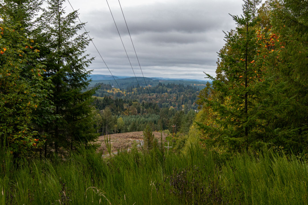
Image: Gabriel Granillo
Drive time: about 40 minutes // Distance: 22 miles, though hikers can choose shorter portions along the way // Difficulty: Easy to moderate // Directions: Take US-30 West from downtown Portland to Johnson's Landing Road in Columbia County, turn left on Dike Road and follow to Champman's Landing Trailhead. Or, continue on the US-30 to Scappoose-Vernonia Highway and pick your starting point.