Hike of the Month: Neahkahnie Gap Trail
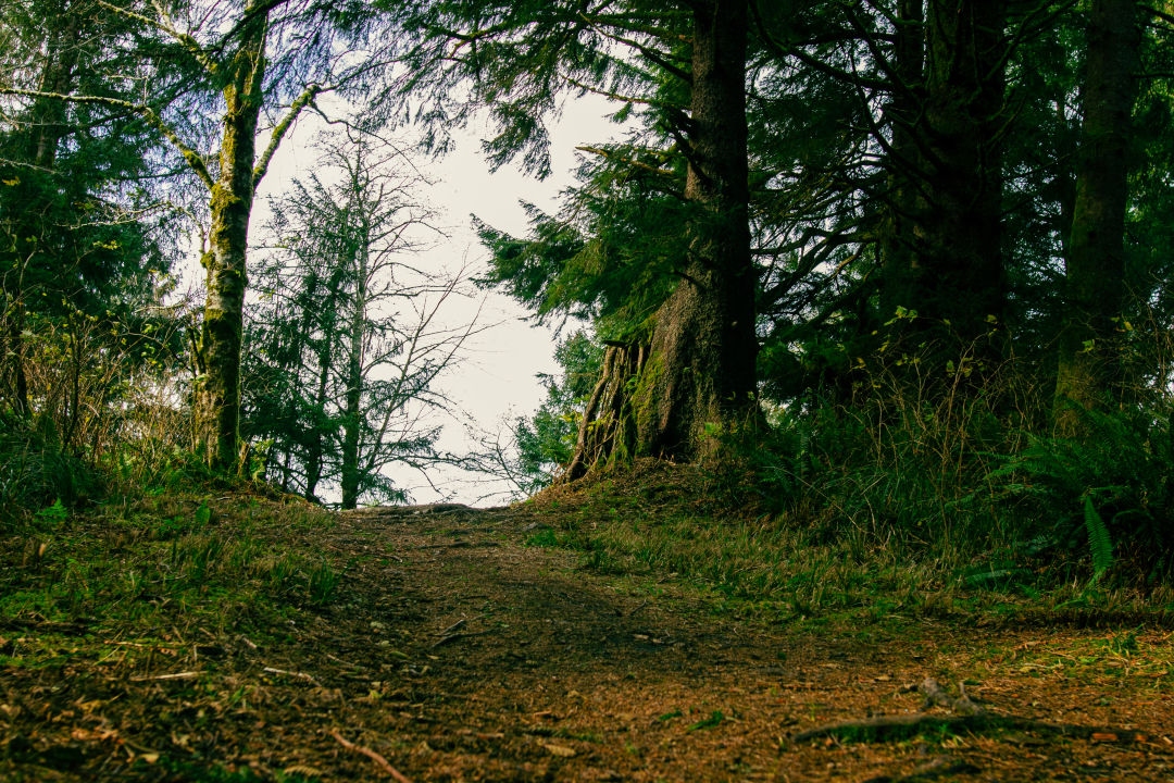
Image: Isabel Lemus Kristensen
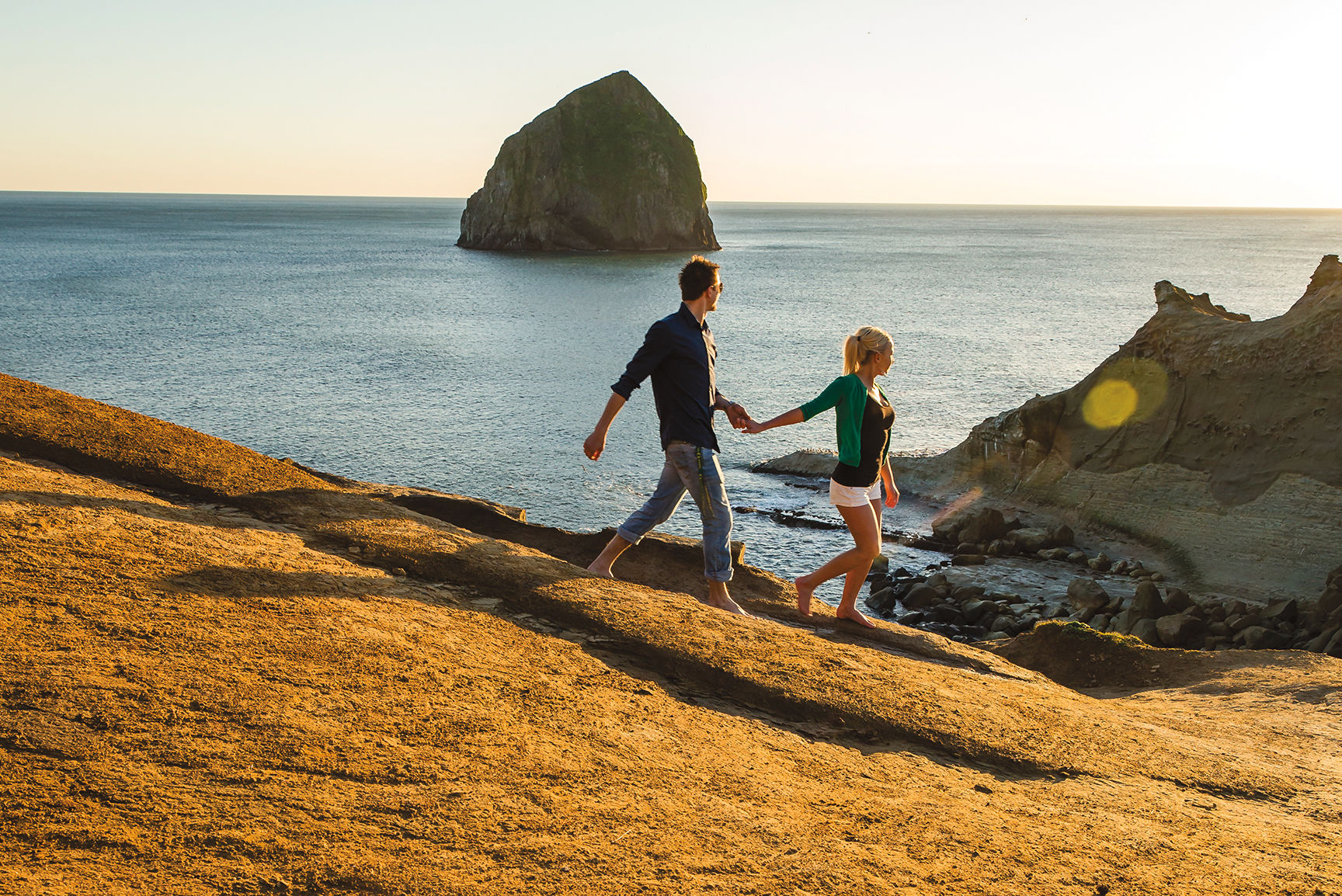
Towering over Nehalem Bay at over 1,600 feet, Neahkahnie Mountain is known for its panoramic views of the Oregon coast from its rocky summit. The Neahkahnie Gap trail—which runs through the Neahkahnie Headwaters Preserve, a 119-acre parcel of land managed by the Lower Nehalem Community Trust—offers stunning views of its own, of Nehalem Bay to the south and the distant outline of the Coast Range.
For Oregon Coast Trail (OCT) hikers, the trek along the narrow shoulder of US 101 from the south side of Neahkahnie Mountain to Manzanita may sound familiar. But thanks to the Northwest Youth Corps and local volunteers from Trailkeepers of Oregon, this trail was completed in 2020, closing the two-mile gap. The OCT stretches 382 miles across Oregon, beginning at the mouth of the Columbia River and ending near the California border.
Work on the connection began in 2019 and was part of a larger, ongoing effort by the Trailkeepers, Youth Corps, and the Oregon Coast Trail Foundation to maintain infrastructure and improve safety along the route.
The trail passes through secondary-growth forest.
Image: Isabel Lemus Kristensen
Neahkahnie Mountain has long been a popular destination for hikers—and treasure hunters looking for a storied cache of gold somewhere on the mountain after a 17th-century Spanish galleon wrecked on the Nehalem Spit. In June, a team of maritime archeologists recovered a dozen timbers from sea caves near Manzanita, which they believe are pieces from the Santo Cristo de Burgos, a Spanish trading vessel that was sailing from the Philippines to Mexico in 1693 when it mysteriously disappeared.
It’s likely you won’t find hidden treasure on Neahkahnie Mountain, but the climb to the top is worth it once you see the Pacific shore. If crowds aren't your thing, or maybe you want to add on some extra mileage to your hike, the Neahkahnie Gap trail is a great alternative. Plus, it’s within reach for Manzanita residents and visitors who can access the hike from where Nehalem Road starts at the beach.
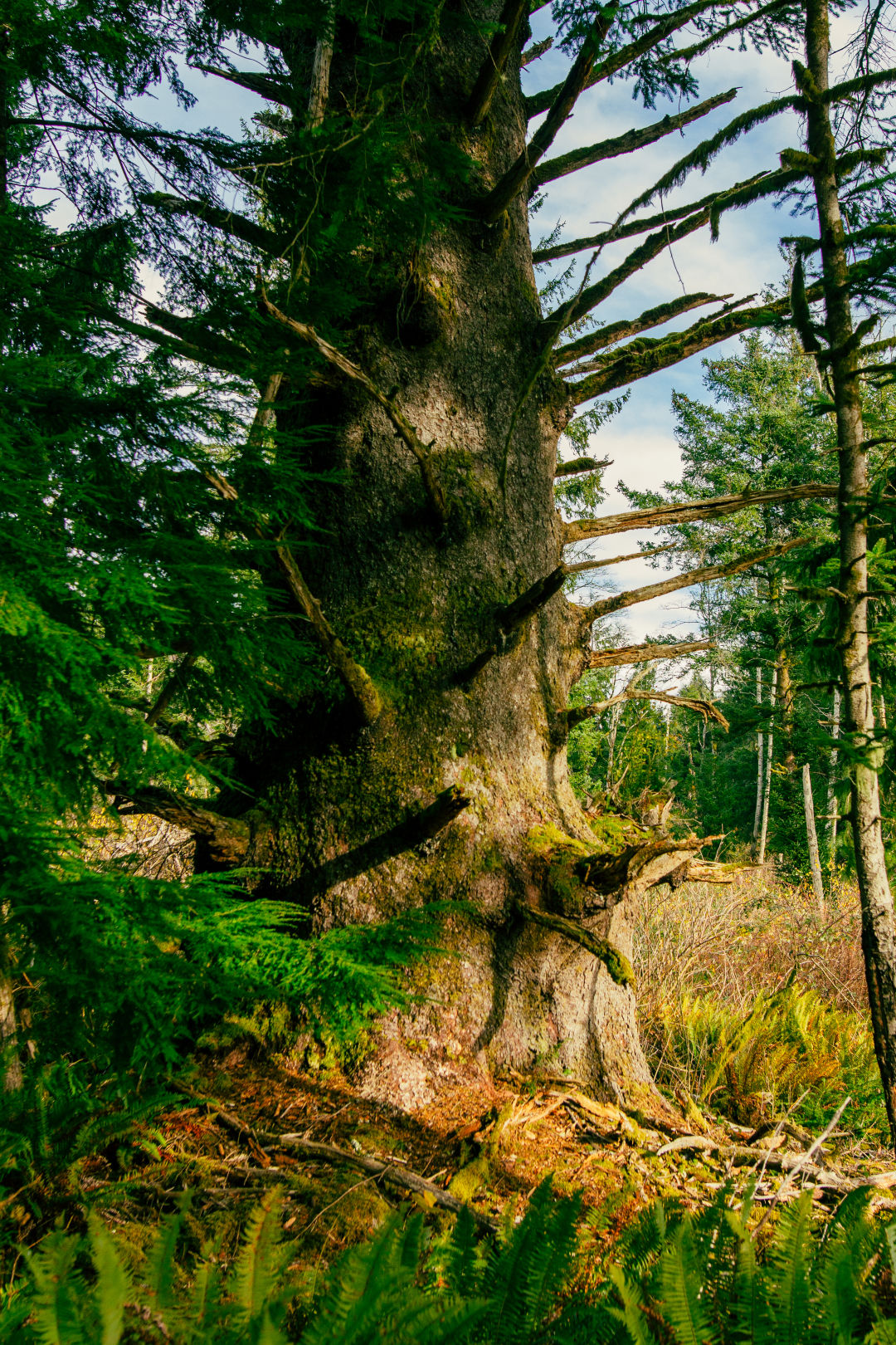
The hike begins across from Nehalem Road at US 101. Once you ascend the gravel trail off the highway, follow a grassy path with overhead telephone lines for about three-quarters of a mile. The proximity to 101 on this stretch of the hike isn’t ideal, but you gradually veer away from the road, entering wooded areas spotted with lofty Sitka spruce, hemlock, and trailing blackberries.

Watch your step. You may discover woolly bear caterpillars along the trail.
Image: Isabel Lemus Kristensen
After climbing a couple of switchbacks, hikers will find a series of interpretive signs about the Headwaters Forest, plus a bench to catch your breath, wolf down a snack, and take in the view of the bay. The trail then meanders through secondary-growth forest with a vibrant underbrush of salmonberry and western sword fern before bringing you to the South Neahkahnie Mountain Trailhead. At this section of the hike, you can either make the steep 1.3-mile trek to the Neahkahnie Mountain Viewpoint or head back down the way you came.
The trail offers a somewhat strenuous hike through Sitka spruce–dominated woodland. On a blustery, winter day after a hard rain, there are some patches of snow and mud, but the trail remains in great shape. If you plan to visit in the winter, bring a pair of sturdy shoes and dress warm. The trail is open year-round. In spring and summertime, you'll likely spot wildflowers such as Coast fawn lily and foxglove along the trail.
Drive time: About 2 hours from Portland // Distance: About 4 miles, not counting the 1.3-mile hike up Neahkahnie Mountain // Difficult: Easy to moderate // Type: Out and back // Fee: None, park on shoulder of Nehalem Road