9 Sublime Fall Hikes In and Around Portland

Summer hikes are all about swimming holes and soaking up the sun (or seeking shade when the heat is too much). But as we ease into sweater weather, it’s time to gaze at fall colors, catch sight of migrating birds, or let a waterfall cool you off one last time before the true cold sets in and some of these trails get buried in snow. Here are a few of our favorite places for autumn hikes.
Maple-Wildwood Loop Hike
Location: Forest Park
Trail length: 8.4-mile loop
Difficulty: Moderate
Little-known fact: Nearly three-quarters of the forest of Forest Park is bigleaf maples and red alders—not Douglas firs. Nowhere is this deciduous umbrella more delightful than along the aptly named Maple Trail; in fall, groves of bigleaf maples rain down piles of crimson-and-gold leaves. This loop hike will tour you through much of the central part of Forest Park and past some of its most impressive trees. Note that sections of both the Maple and Wildwood trails are closed, but well-signed detours are in place.
Hoyt Arboretum Loop Hike
Location: Washington Park
Trail length: 4.7-mile loop
Difficulty: Easy
There is no one right way to explore Portland’s living tree museum, which ranges over 187 ridge-top acres and includes some 12 miles of trails. But we're fans of this loop hike, which starts at the southern terminus of the Wildwood Trail. While the western part of the loop winds among conifers, in the eastern half you'll find an abundance of deciduous trees wearing their most vibrant fall finery, including sugar maples and flowering ash.
Oaks to Wetlands Trail
Location: Ridgefield National Wildlife Refuge, 35 minutes from portland
Trail length: 1.7-mile loop
Difficulty: Easy
Just north of Vancouver, Washington, Ridgefield National Wildlife Refuge is a prime place for viewing animals, particularly the many migratory birds that pass through this rich wetland ecosystem from September through December. There are more tranquil attractions here, too—witness the numerous Oregon white oaks, whose fall leaves turn copper as their branches grow heavy with acorns. If you’re lucky (and quiet), you might even spot a coyote or an adorable red fox.
Jenkins Estate Loop Hike
Location: Beaverton, 35 minutes from Portland
Trail Length: 2.3-mile loop
Difficulty: Easy
In 1912, Belle Ainsworth Jenkins, the youngest daughter of Portland shipping magnate Captain J. C. Ainsworth, and her husband, Ralph, built an English-style estate on 68 acres of Cooper Mountain’s northwest slope. Today, the historic estate remains as a public park, events venue, and summer camp for kids with disabilities. Over two miles of trails wind throughout the property, where you can hike among Douglas fir, madrone, hazel, hemlock, and Oregon ash. The estate also features a Japanese garden with a tea house and lotus pond, a greenhouse, a Heritage Tree elm grove, and rhododendron and herb gardens. While conifers dot much of the wooded landscape, in the autumn, look out for the vibrant red and orange hues of maples, particularly in Belle’s Haven.

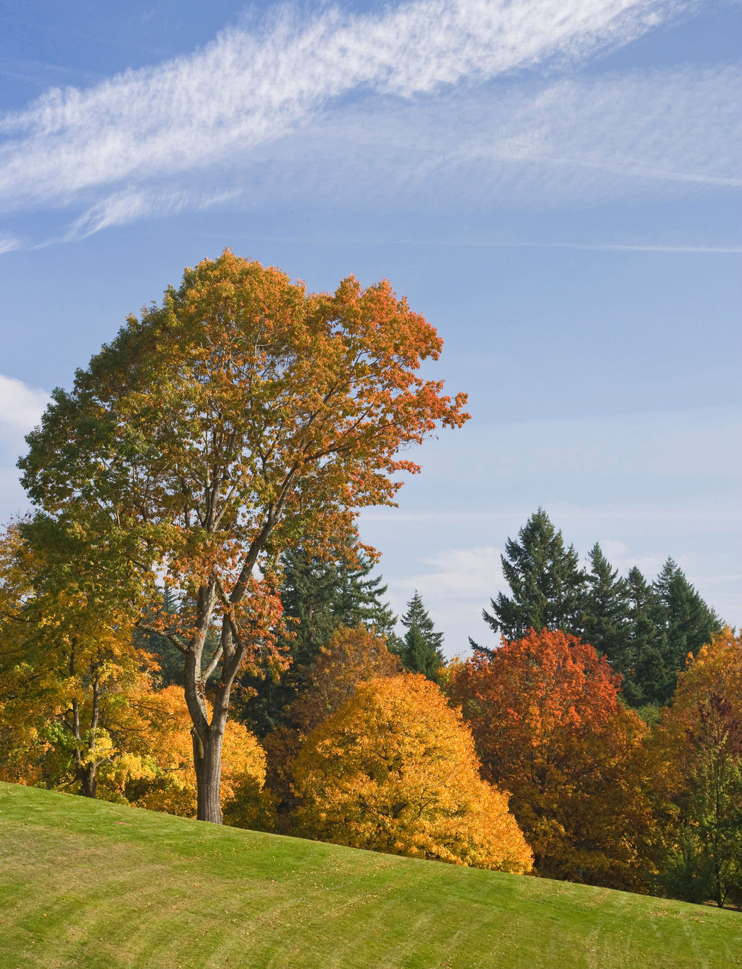
Find moody fall vibes on the Crown Zellerbach Trail.
Image: Gabriel Granillo
Crown Zellerbach Trail
Location: Between scappoose and Vernonia, 40 minutes from Portland
Trail length: 23 miles Total, with multiple Entry points
Difficulty: easy
Stretching from Scappoose to forested areas of Columbia County, the Crown Zellerbach is a friendly year-round trail. Once a logging road and now open to hikers, cyclists, and horseback riders, it snakes through several small communities and parallels the Scappoose-Vernonia Highway, allowing visitors to choose the length of their adventure with numerous entry-point trailheads along the way.
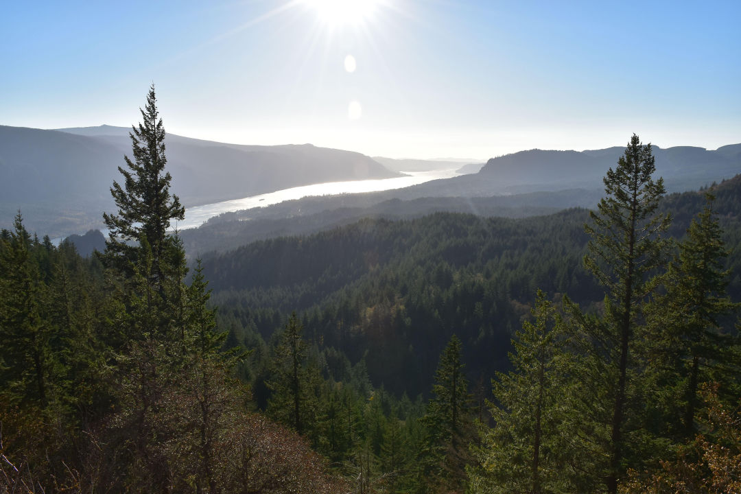
Hamilton Mountain Loop
Location: columbia river gorge, 50 minutes from portland
Trail Length: 7.5-mile lollipop loop
Difficulty: Hard
Popular, difficult, and rewarding, the 7.5-mile Hamilton Mountain Loop in Beacon Rock State Park on the Washington side of the Columbia River Gorge boasts three gorgeous waterfalls and, during fall, rows of yellow maples bordered by towering green Douglas firs. From the summit, take in sweeping views of Table Mountain, Bonneville Dam, and Mount Adams.

Image: Bob Pool/Shutterstock.com
Trail of 10 Falls
Location: Silver Falls State Park, 70 minutes from portland
Trail Length: 7.8-Mile loop
Difficulty: Moderate
Falling water plus falling fiery leaves add up to a wonderful autumn outing at Silver Falls State Park, about 20 miles southeast of Salem. The signature Trail of 10 Falls packs 10 waterfalls into one scenic trail loop that threads through Technicolor foliage in the fall, from red alder to yellow-hued maple. It goes without saying: Bring your camera.
High Prairie Loop 493, Lookout Mountain
Location: off highway 35, 2 hours from portland
Trail length: 2.9-mile loop
difficulty: moderate
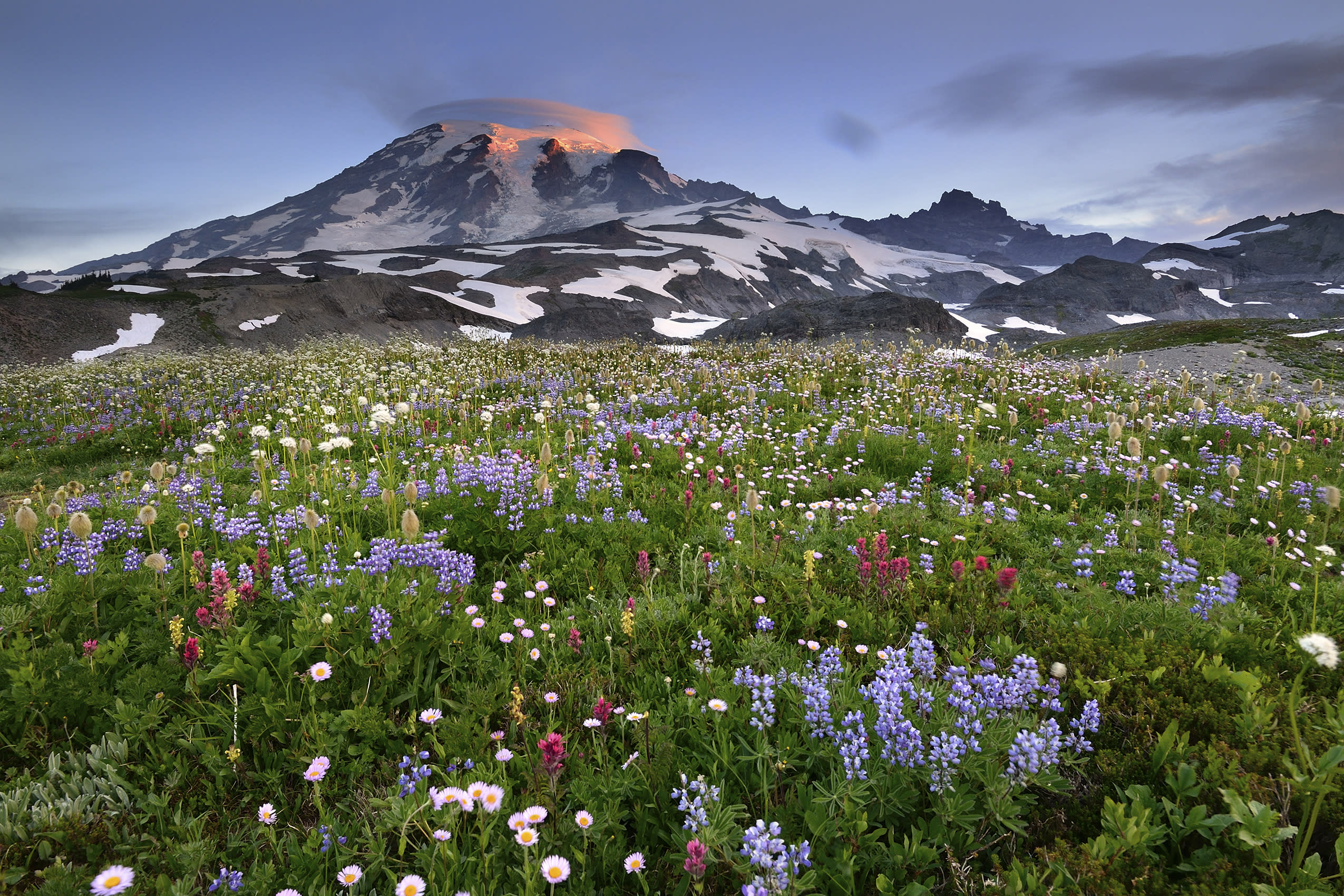
The best view of Mount Hood is found atop the second tallest peak in the Mt. Hood National Forest: Lookout Mountain, a 6,536-foot ridge just seven miles east of the main event. The most direct way up is via High Prairie Loop 493, a wide, gently graded trail. From the High Prairie trailhead (just off US Forest Service Road 4410, about five miles south of FS 44, or Dufur Mill Road), start your hike in a counterclockwise direction. You’ll walk under mossy hemlocks and through meadows, catching your first Hood views after three quarters of a mile. From the summit, views are limitless on a clear day: Central Oregon desert, Mount Jefferson, and the curve of Hood River winding from the snowy peak. Golden larches only sweeten the deal.
Indian Heaven Trail #33
Location: Trout Lake, washington, 2 hours from Portland
Trail Length: 6.6 miles out and back
Difficulty: moderate
Each autumn, golden-needled larch trees and huckleberry bushes glow like oven burners in Southwest Washington’s Indian Heaven Wilderness. From Cultus Creek Campground north of Trout Lake, Indian Heaven Trail No. 33 provides quick access to the bounty. A short but steep 1.4-mile climb exits thick forest to reveal Mount Adams reigning over an evergreen kingdom lit by torch-bright larches. Just around a nearby bend, quiet Cultus Lake looks upon craggy Lemei Rock—at 5,925 feet, the highest point in Indian Heaven. Nimble-legged hikers can continue on a 2.2-mile trek toward the crumbly flank and a vista of Rainier and St. Helens, as well as Lake Wapiki. For rapture on demand, detour from Cultus on a signed short spur to Deep Lake, which sits in a secluded, fir-encircled basin crowned by snow-robed Mount Adams.