High-Tech Hunt
BACK IN 2001, I signed on to become a wilderness doctor for the Crag Rats, a Hood River County all-volunteer search-and-rescue team that specializes in mountain rescues. Certain things came with the job: frozen Clif Bars, muddy boots, and late-night emergency calls that sent me scrambling out the door, clutching a pack crammed full of carabiners, ice axes, climbing ropes, and, these days, my Global Positioning System (GPS).
I wasn’t always so fond of this last piece of equipment. As a boy, while hunting quail near the eastern end of the Columbia River Gorge, I learned to navigate the landscape in tried-and-true fashion: by using a map and compass. Besides, as I grew into an avid outdoorsman, survival experts told me that to negotiate the wilderness, a map and compass couldn’t be beat. Not surprisingly, the first time I held a GPS unit (a Magellan) seven years ago, I was skeptical of its electro-wizardry. But the Crag Rats, who’ve been operating since 1926, were determined to modernize by integrating GPS into their missions. I needed to get with the program.
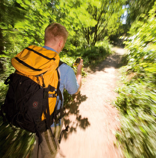
Reluctantly, I began packing a GPS unit on my hikes in the Gorge with my two daughters. With the push of a button, the device displayed our exact coordinates and let me track our progress across the steep terrain. It was a neat trick. But I wanted the challenge of a real search-and-rescue. “Try geocaching,” a climbing buddy told me. “You’ll love it!”
Best described as a high-tech treasure hunt, the sport of geocaching operates on a simple premise: One player stashes something, often in a park or forest; marks the cache’s latitude and longitude; and then broadcasts the coordinates on a website like geocaching.com so other players can track down the booty using a handheld GPS unit.
The sport got its start right here in Portland, on May 3, 2000, just one day after the U.S. Department of Defense removed “Selective Availability”—a program that scrambled GPS signals—from 24 navigational satellites. With this figurative flick of a switch, personal GPS units suddenly went from being accurate within 300 feet to being accurate within 30 feet. (In 2003, satellite strength was boosted, improving accuracy to within about 9 feet.)
A computer consultant named Dave Ulmer celebrated the big day by hiding a five-gallon bucket full of treasures outside of Estacada and posting the cache’s coordinates on an Internet newsgroup for GPS enthusiasts. Two days later, Mike Teague, from Vancouver, Washington, tracked down Ulmer’s bucket—which contained, among other things, some GPS mapping software, four $1 bills, and a slingshot. A few months later, Teague helped launch Geocaching.com, which rapidly became the sport’s virtual hub.
Today, participants can log on to the site to find the coordinates of more than 620,000 caches in more than 200 countries. And it’s especially easy for Portlanders to get in on the hunt. Plug in zip code 97205, for example, and nearly 300 caches within a five-mile radius pop up. In fact, Oregon boasts 12,000 caches, which bear names like Seven Streams Trail Cache or Mosier Tunnels Revisited. They’re hidden in forests, on beaches, under city park benches—there’s even one stowed in Multnomah County’s Central Library. (Hint: Think pirates.)
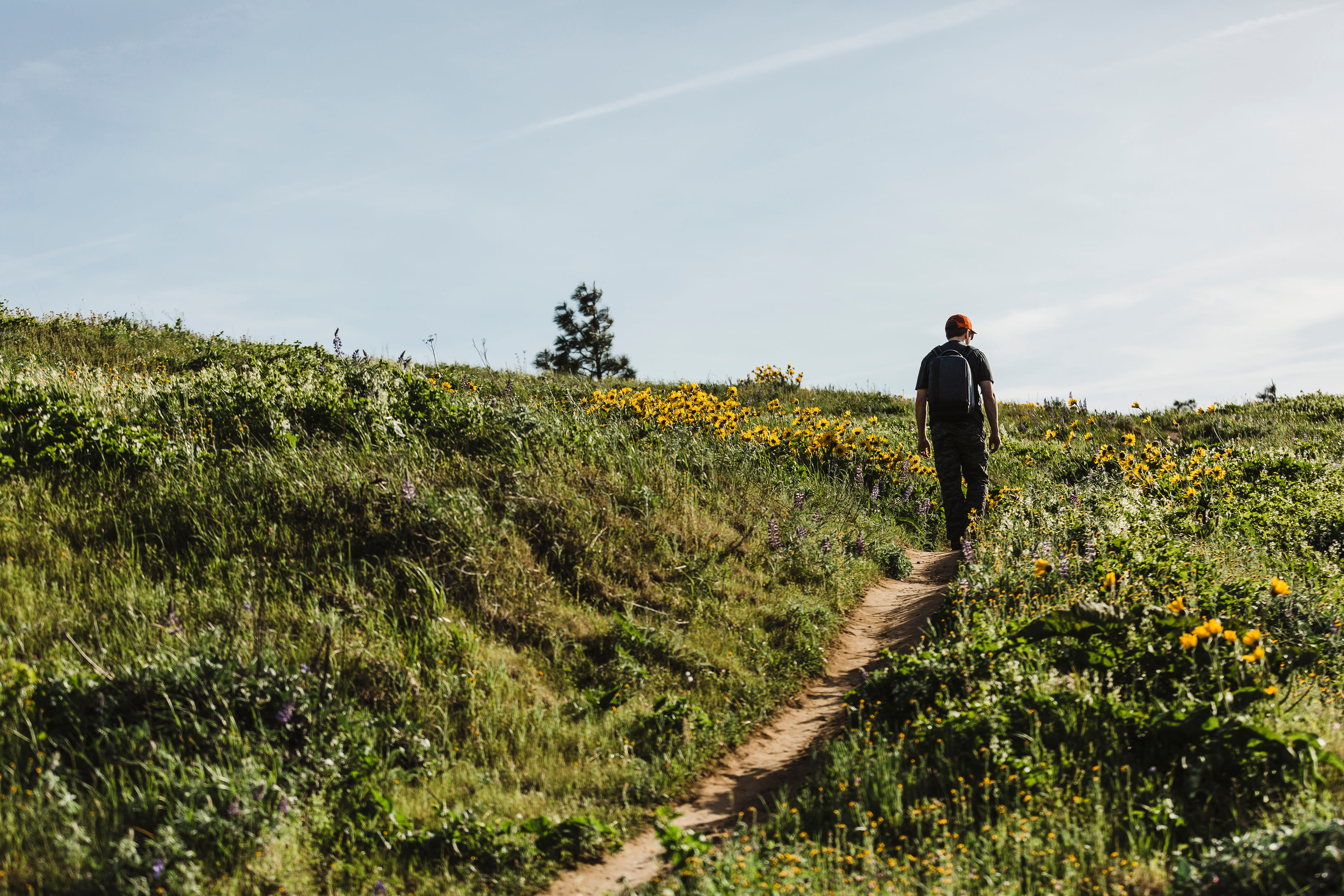
A GPS unit does not, however, do all the work. Most caches are so well hidden, you could walk right past one every day and never notice it. Caches are even assigned a difficulty rating—1 through 5—based on where they are stashed and the mileage required to reach them. (A close-in cache in Forest Park might get a “1”; one requiring a four-mile hike into the Mt Hood Wilderness might warrant a “5.”) While geocaching with my girls, we’ve had to climb trees to peer inside squirrel holes and peek underneath mossy rocks. We even paddled out to Wells Island in the Columbia River to trace a container hidden by thick blackberry bushes.
Of course, you won’t uncover Long John Silver’s pieces of eight in these secret chests. The waterproof canisters, usually heavy-duty Tupperware or old military-surplus ammo boxes, often contain little more than a logbook to sign and a slew of tiny trinkets: refrigerator magnets from Route 66, Here Today Gone to Maui key rings, or bar coasters from Deschutes Brewery. The main rules when you find a cache: Take something, leave something, sign the logbook, and re-stash the box. Or, if you’re like me, just scribble “TNLN” (“Took nothing, left nothing,” in geocache vernacular).
Which isn’t to say that I walk away empty-handed; geocaching gives me practice at using my GPS, something that makes me a better Crag Rat. Just last spring, a call woke me at midnight: A family with two young children was lost on Mount Defiance, a 5,000-foot peak near the Gorge. When I got there, we had a rough idea of their whereabouts thanks to coordinates radioed in from a spotter plane that had buzzed the search area at dusk. But the moonless night made taking a compass bearing nearly impossible. Instead, I plugged the coordinates into my GPS and let the faint glow of my now-trusted hiking companion guide my team methodically and efficiently up a steep, trail-less hillside to the family. By sunrise all of us were back at the trailhead, chilly and wet, but unhurt.
But the greatest treasure geocaching has given me? The adventures I share with my daughters. Every time they unlatch the lid to another find and I see their faces light up as if they were a pair of budding Nancy Drews who’d successfully solved another mystery, I can’t imagine what we did for fun on the trail before.