Hikes & Bikes
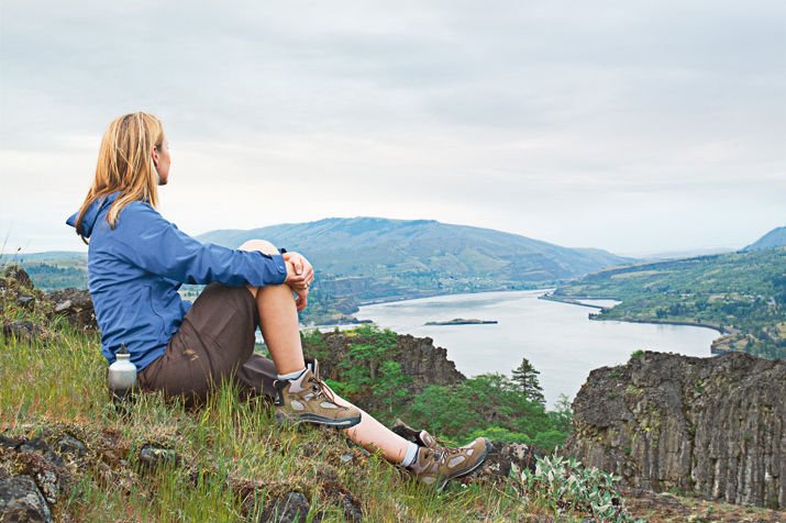
ONE OF THE BEST things about living in Portland is the ease with which we can escape the city for more rugged delights: a peak-packed panorama in the Gorge, a bird’s-eye view of the beach, a high alpine meadow strewn with nature’s floral confetti. But maximizing those out-your-back-door adventures requires some serious at-your-kitchen-table homework. So we paged through guidebooks*, consulted local experts, and wore a little leather off our own boots to bring you these thirty hiking and biking trails, all easily drivable in a day. By our count, there are about thirty weekend days left before the rain returns this fall—and we’ve got a ready-made adventure for every one.
Portland
Springwater Corridor
Biking Trail
Moderate This commuter superhighway between Portland and Boring isn’t just for the spandex species. The well-groomed path also provides frequent encounters with woodland denizens like woodpeckers and galloping white-tailed deer. In fact, as the trail (a former railroad route) plays leapfrog with Johnson Creek, crossing the water more than ten times, it passes through at least three different habitats, including Powell Butte Nature Park’s high meadows and Oaks Bottom’s low-lying wetlands, where you just might see the Rose City’s official bird, the great blue heron. —Kaitlin Johnson
ROUND TRIP: Up to 42 miles DISTANCE FROM DOWNTOWN: 2 miles PACK: Rubber to the Road; Springwater Corridor map at portlandonline.com/parks
Vancouver Lake
Biking Trail
Easy Technically a road ride, this route along Lower River Road from Esther Short Park nearly to Campbell Lake whips around Vancouver Lake before forking off to follow the Columbia River’s verdant shoreline. You may have to share the road with a few cars for the first five miles (and aggro cyclists going all Lance Armstrong on one of the metro area’s time-trial courses), but after that, your only companions will likely be casual riders seeking out the flat terrain or resident waterfowl, such as great egrets and peregrine falcons, cruising overhead. —KJ
ROUND TRIP: Up to 26 miles DISTANCE FROM DOWNTOWN: 15 miles PACK: Rubber to the Road; Frenchman’s Bar Ride map at vancouverbicycleclub.com
Oxbow Regional Park
Hiking Trail
Moderate Before Grizzly Adams laid down his rifle and began communing with furry forest pals, the bearded mountain man could track anything under the sun. If you’ve ever wanted to acquire such a skill, Oxbow Regional Park is the perfect playground. Bisected by the snaking Sandy River, the beachlike banks of the 1,200-acre park reveal prints from the multitude of mammals who live here, among them black-tailed deer, flying squirrels, beavers, and red foxes (you might even spot some cubs this month). The park offers a class in animal tracking if you want an expert to help you bone up. Just don’t expect to run into Ben, Adams’s ursine sidekick, on your hike; grizzlies don’t roam through Oxbow, just the occasional black bear. And we’re OK with that. —Kasey Cordell
ROUND TRIP: Up to 15 miles DISTANCE FROM DOWNTOWN: 20 miles PACK: Wild in the City; Oxbow Regional Park map at oregonmetro.gov; $5 parking fee
Macleay Trail
Hiking Trail
Easy Nestled in Forest Park, the Macleay Trail offers a walking tour of the city’s signature flora and fauna. The hike traces the banks of Balch Creek, home to native cutthroat trout and Pacific giant salamanders; and less than half a mile up the trail, hikers can marvel at one of Portland’s 282 (and counting) Heritage Trees—a 242-foot Douglas fir thought to be the tallest urban tree in America. Sunday strollers may opt to turn around at the Audubon Society, where injured owls and hawks are cared for, but those wanting to work off the eggs Benedict from Besaw’s on nearby NW 23rd Avenue can continue on the Wildwood Trail to tranquil Holman Meadow. —Brian M. Barker
ROUND TRIP: 2 miles DISTANCE FROM DOWNTOWN: 2 miles PACK: 60 Hikes within 60 Miles: Portland; The Hiking and Running Guide to Forest Park, 10-map set
Oaks Bottom Wildlife Refuge
Hiking Trail
Easy It seems that every time we visit this popular Sellwood preserve, we bump into someone we know. But antique hounds and Southeast locals aren’t the only Portlanders who flock to this inner-city refuge along the Willamette—so do about 150 species of birds. Amid the woodlands at the base of a bluff, you’ll see (or at least hear) sparrows, wrens, and black-capped chickadees, while blue herons and cormorants stand like reeds in the marshland near Oaks Amusement Park. And in the parking lot, well, you just might see your neighbor. —KC
ROUND TRIP: 2.5 miles DISTANCE FROM DOWNTOWN: 3 miles PACK: 60 Hikes within 60 Miles: Portland; Oaks Bottom Wildlife Refuge map at portlandonline.com/portlandmigratorybirds
Tryon Creek State Natural Area
Hiking Trail
Easy Lewis & Clark College biology students often study the plants and animals in this 670-acre recreation area. And what a laboratory: blooms of Indian plum and salmonberry crop up along Tryon’s twenty or so crisscrossing trails. The region’s waters also provide year-round habitat for steelhead trout, and some fifty bird species chirp from the branches of bigleaf maples and red alders. Sharp eyes may even locate northern saw-whet owls near the park’s nature center, where a handmade roost hangs. Sure beats a day in a lecture hall. —BMB
ROUND TRIP: Up to 8 miles DISTANCE FROM DOWNTOWN: 6 miles PACK: 60 Hikes within 60 Miles: Portland; Tryon Creek State Natural Area map at oregonstateparks.org
The Guidebooks: 60 Hikes within 60 Miles: Portland by Paul Gerald (2nd and 3rd editions); The Curious Gorge by Scott Cook; An Explorer’s Guide: Oregon by Mark Highberger (2nd edition); Hiking Oregon by Lizann Dunegan (2nd edition); Mountain Biking Oregon by Lizann Dunegan; Moon Handbooks: Oregon by Elizabeth and Mark Morris (6th edition); Oregon’s Best Wildflower Hikes by George Wuerthner; Rubber to the Road: 30 Rides around Portland compiled by Peter Marsh; Wild in the City: A Guide to Portland’s Natural Areas edited by Michael C. Houck and M.J. Cody.
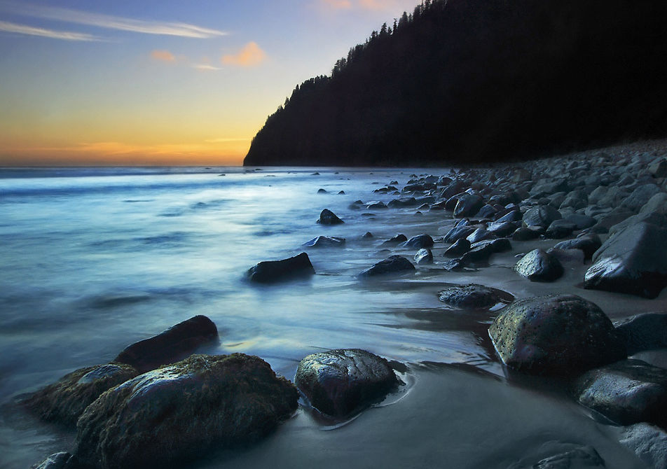
Just you, the Pacific, and the setting sun at Cape Lookout.
Image: Larry Gloth
The Coast
Salmonberry River
Hiking Trail
Easy Stand by Me fans, this is the hike for you. Unique among coastal treks, the Salmonberry River trail doesn’t boast commanding ocean views or barking sea lions. Instead, it follows sixteen miles of deserted railroad tracks across watery expanses, over ancient steel bridges, through pitch-dark tunnels, and—most intriguing of all—through the tiny old railroad town of Enright, which consists of two cabins and a water tower that ran dry long ago. Trains roared through the hamlet as recently as 2007, when a fierce winter storm washed out the tracks. Today, as wilderness slowly reclaims the lonely structures, the area is blissfully devoid of any train—or human—traffic. —Bart W. Blasengame
ROUND TRIP: Up to 16 miles NEAREST TOWN: Wheeler DISTANCE FROM DOWNTOWN: 62 miles PACK: 60 Hikes within 60 Miles: Portland; Tillamook County Water Trail Map at tbnep.org; a headlamp (to navigate pitch-black train tunnels)
Cape Lookout
Hiking Trail
Easy Most hikers at Cape Lookout State Park take the Cape Lookout Trail—a five-mile out-and-back journey to the end of the peninsula. Those in the know, however, head south from the parking lot on the Oregon Coast Trail. Here, a series of sharply descending switchbacks leads hikers to the waves below. Once you’ve popped out of the woods, two miles of deserted beach in the shadow of the cape’s rocky finger await you. (If you want to skinny-dip, we’ll look the other way.) —BWB
ROUND TRIP: 4 miles NEAREST TOWN: Tillamook DISTANCE FROM DOWNTOWN: 82 miles PACK: Moon Handbooks: Oregon; $3 day-use fee, USGS Sand Lake map
Banks-Vernonia State Park Trail
Biking Trail
Easy Timber-laden locomotives used to roar along this twenty-one-mile stretch of train track, but today it’s all yours for the cruising. The gently graded trail, which is paved in some parts and gravel in others, links the rural towns of Banks and Vernonia, and its multiple access points allow families to tailor outings to just about any distance. As you wind through rolling hills dotted with historic farmhouses, there’s no shortage of postcard views, including one from the top of the Buxton Trestle, an eighty-foot-high structure a few miles outside of Banks that will have you itching to ring your bell as you pedal across it. —BMB
TRAIL DISTANCE: Up to 42 miles NEAREST TOWN: Banks DISTANCE FROM DOWNTOWN: 25 miles PACK: Mountain Biking Oregon_; Banks-Vernonia State Trail map at oregonstateparks.org145.php
Tillamook Head
Hiking Trail
Moderate After stumbling upon this 1,130-foot coastal mound in 1806, William Clark (of Lewis and Clark fame) dubbed the viewpoint “Clark’s Point of View.” These days the peak is known as Tillamook Head, but one thing hasn’t changed: the spectacular sight of the coast from the top. The climb—which winds past a World War II–era bunker and affords glimpses of “Terrible Tilly,” a decommissioned lighthouse—is challenging. But once you’ve toughed out the three-mile ascent from Indian Beach (a hot spot for surfers), you’ll be rewarded with a boundless panorama of the great blue Pacific and the cold-water adventurers who ride its waves. —BWB
ROUND TRIP: Up to 6 miles NEAREST TOWN: Cannon Beach DISTANCE FROM DOWNTOWN: 72 miles PACK: Moon Handbooks: Oregon; oregonstateparks.org/park188.php; $3 day-use fee
Tillamook State Forest
Biking Trail
Hard You could just lace up your shoes and hit this trail, which starts at the Roger’s Camp Trailhead, on foot. But with its bevy of roots and rocks, the loop through the Tillamook State Forest seems almost custom-made for the two-wheel adventurer. Brief, intense climbs of up to 775 feet are followed by stomach-tickling drops. If you blow a tire or just plain tucker out, at least you’ll have pristine pit stops like 30-foot-tall University Falls to gawk at while you catch your breath. —BWB
ROUND TRIP: 10.4 miles NEAREST TOWN: Forest Grove DISTANCE FROM DOWNTOWN: 39 miles PACK: Mountain Biking Oregon; Tillamook State Forest Visitor Map & Guide at oregon.gov/ODF
Cascade Head
Hiking Trail
Moderate Rare are the places where seals, eagles, elk, and owls converge. Cascade Head, a 1,200-foot-tall highland overlooking the Salmon River and the Pacific Ocean, is one of them. In fact, this 270-acre area has such a diversity of natural wonders that it was designated as a United Nations Biosphere Reserve in 1980. The Nature Conservancy also owns land here that happens to be one of only five remaining habitats in the world for the endangered Oregon silverspot butterfly. You’ve got a steep three-and-a-half miles to the top of the head, but it’s worth the cramp-inducing climb to experience this truly wild stretch of coast. (Note: Dogs aren’t allowed, and upper portions of the trail are closed to hikers through July 15 to protect baby butterflies.) —BWB
ROUND TRIP: Up to 7 miles NEAREST TOWN: Lincoln City DISTANCE FROM DOWNTOWN: 86 miles PACK: Oregon’s Best Wildflower Hikes; US Forest Service Trail Map No. 1310 at www.fs.fed.us/r6
or USGS Neskowin map
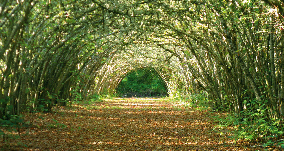
There’s green at the end of the tunnel at Willamette Mission State Park.
Image: Ian Sane
The Valley
Mary’s Peak
Biking Trail
Hard At 4,097 feet, Mary’s Peak is the highest point in the Coast Range. That’s short by Oregon standards, but still tall enough to properly jellify the legs of all but the hardiest of pedalers. Unseasoned bikers can try the East Ridge, which is shorter and lined with columbine, bleeding heart, and starflower. But the tougher North Ridge offers awe-inspiring perspectives on Mounts Hood and Jefferson, as well as one of the most thrilling technical downhill experiences in the state. —BWB
ROUND TRIP: Up to 12 miles NEAREST TOWN: Philomath DISTANCE FROM DOWNTOWN: 102 miles PACK: Mountain Biking Oregon; US Forest Service Trail Map No. 1350 at www.fs.fed.us/r6 or USGS Mary’s Peak map
Valley of the Giants
Hiking Trail
Moderate This fifty-one-acre park delivers on its name and makes a worthy wine-country diversion. At the heart of the loop sit thirty-five enormous Douglas firs and western hemlocks, measuring about twenty feet around at the base of their trunks. Most of these behemoths, which stand guard over an impressive array of wild ginger and red huckleberry, are more than four hundred years old. Make sure to pay your respects to Big Guy, the preserve’s thirty-five-foot wide, two-hundred-foot-tall fir that fell victim to a windstorm in 1981. (Note: The gates typically are open only on weekends during daylight hours. Call the Bureau of Land Management, 503-375-5646, ahead of time to ensure you can get in.) —BWB
ROUND TRIP: 1.3 miles NEAREST TOWN: Falls City DISTANCE FROM DOWNTOWN: 93 miles PACK: Hiking Oregon; USGS Warnicke Creek map
Willamette Mission State Park
Biking Trail
Easy Whether you come for the history (in 1834, this became the site of Oregon’s first Christian mission, and a few years later, the nearby Wheatland Ferry was the first to usher covered wagons across the Willamette River) or the four miles of paved bike paths winding beneath walnut and filbert groves, there’s plenty here to stimulate both your brain and your calves. (And, yes, the trails are hiker-friendly, too.) Our favorite attraction: the nation’s largest black cottonwood tree. Perched next to Mission Lake, it stands fourteen stories tall and dates back to 1735. —BWB
ROUND TRIP: Up to 4 miles NEAREST TOWN: Keizer DISTANCE FROM DOWNTOWN: 43 miles PACK: Mountain Biking Oregon; Willamette Mission State Park map at oregonstateparks.org/park; $3 day-use fee
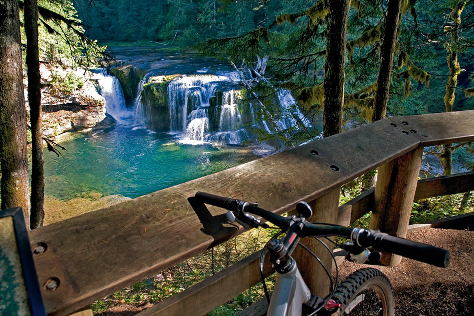
The perfect pit stop on the Lewis River
Image: Jessica Robinson
St. Helens
Lava Canyon
Hiking Trail
Easy with a hard option When St. Helens blew in 1980, it sent nearly four billion cubic yards of debris (enough to fill 982 Rose Garden Arenas) careening down the mountain, revealing this two-thousand-year-old canyon. Today, the route takes hikers across a suspension bridge over the Muddy River and within sixty feet of a majestic turquoise waterfall. The terrain beyond this point isn’t for the fainthearted: steep slopes, creek crossings, and narrow paths line the way to the Ship, a giant, tar-colored lava flow discarded by the volcano 3,500 years ago. —Victoria Nguyen
ROUND TRIP: Up to 5 miles NEAREST TOWN: Cougar, Wash. DISTANCE FROM DOWNTOWN: 75 miles PACK: 60 Hikes within 60 Miles: Portland; Green Trails Map No. 364
UPDATE: The Lava Canyon trail is closed for maintenance for the month of July 2009, and is due to re-open in August. Contact the Forest Service at 360-247-3900 for updated information.
Silver Star Mountain
Hiking Trail
Moderate The 1902 Yacolt Burn wiped Silver Star clean of firs and pines, leaving behind enriched soil ripe for wildflowers. This month, more than a hundred varieties, such as Western buttercups and tiger lilies, line the way to the top (4,390 feet). There, you’ll trade floral splendor for an equally stunning sight: sweeping views of Gifford Pinchot National Forest and four snowcapped peaks. —VN
ROUND TRIP: 5.5 miles NEAREST TOWN: Yacolt, Wash. DISTANCE FROM DOWNTOWN: 48 miles PACK: 60 Hikes within 60 Miles: Portland; Green Trails Map No. 428; a jeep (for rough roads)
Lewis River
Biking Trail
Moderate This fast, smooth single-track traces the scenic Lewis River through old-growth Douglas firs and western red cedars every bit as grand as California’s redwoods. It’s an up-and-down roller-coaster ride that will wear the winter right out of your legs, and it has five access points, so you won’t be short on out-and-back options. Most bikers start near Curly Creek Falls, where the trail is flattest and least populated with hikers. Or, for dramatic scenery, crank your gears up the northernmost stretch, where you’ll find a series of rushing waterfalls and dark pools perfect for a cool dip. —Ariel Bleicher
ROUND TRIP: Up to 26 miles NEAREST TOWN: Cougar, Wash. DISTANCE FROM DOWNTOWN: 83 miles PACK: Mountain Biking Oregon; Green Trails Map No. 365; Northwest Forest Pass ($5)
The falls are worth wading for at Oneonta Gorge.
Image: Scott Weber
The Gorge
Post Canyon
Biking Trail
Easy to Hard You’ll hear more than the call of the wild at this mountain-biking mecca. Designed as a motorbike course, Post Canyon echos with the whines of 250cc engines—it’s a fly-trap for adrenaline junkies who test their mettle (and bone density) by hucking themselves off massive piles of dirt. But the energy drink–slugging crowd tends to stick to the upper part of the canyon, leaving the well-maintained network of trails below to mellower bikers. Drop by Hood River’s Mountain View Cycles for trail maps. And, if you ask nicely, the gearheads inside might point out some of their favorite rides—or at least tell you about the best spots to gape at the daredevils as they cheat gravity. —KC
ROUND TRIP: Varies NEAREST TOWN: Hood River DISTANCE FROM DOWNTOWN: 63 miles PACK: Mountain Biking Oregon; Adventure Maps Mountain Biking and Hiking Hood River, Oregon & South Central Washington map
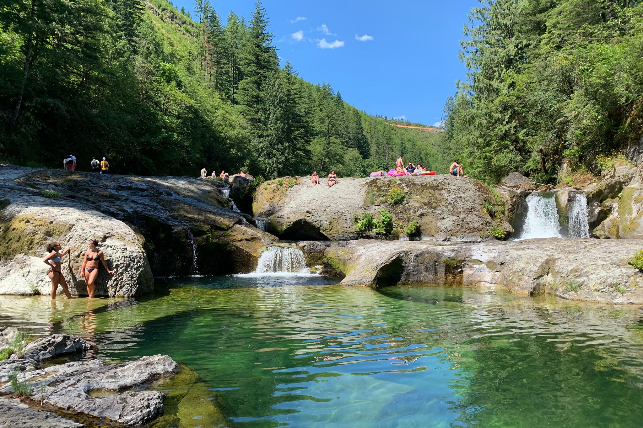
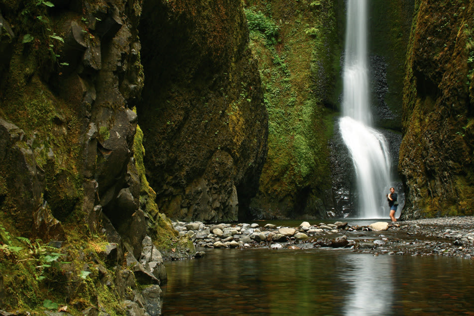
Oneonta Gorge
Hiking Trail
Easy This petite hike is the perfect spot for time-pressed Gorge hikers to get their feet wet, literally. Reaching the sixty-foot Oneonta Falls—which sits at the end of a narrow chasm curtained with lichens and mosses—requires a bracing, knee-deep wade up the creek’s chilly waters. (Earlier in the summer, these waters can be higher, so be sure to keep an eye—and possibly a hand—on younger hikers.) If your day planner isn’t jam-packed, try parking at the Horsetail Falls lot. From here, follow Gorge Trail 400 behind the hundred-or-so-foot-tall Ponytail Falls. This diversion adds about a mile and a half, each way, to your outing, but for water babies, it’s well worth it. —KC
ROUND TRIP: 1 mile NEAREST TOWN: Corbett DISTANCE FROM DOWNTOWN: 35 miles PACK: The Curious Gorge; Green Trails Map No. 428; towel
Fifteen Mile Creek
Biking Trail
Hard With numerous creek crossings, head-jerking panoramas of Mount Hood and the fruit orchards of the Hood River Valley, and an endorphin-pumping five-mile descent, Fifteen Mile Creek is one of the Northwest’s finest mountain-biking spots. With so much untrammeled beauty on display, we’re even willing to smile wide through the trail’s merciless 1,800-foot elevation gain. If you find yourself cursing your bike (and your flailing quads) around mile seven, where the ride really gets tough, remember: if it were easy, you’d probably have to share it. —KC
ROUND TRIP: 11 miles NEAREST TOWN: Hood River DISTANCE FROM DOWNTOWN: 100 miles PACK: Mountain Biking Oregon; Adventure Maps Mountain Biking and Hiking Hood River, Oregon & South Central Washington map; Northwest Forest Pass ($5)
Wind Mountain
Hiking Trail
Hard It’s little wonder that this 1,907-foot mountain once served as a Native American vision- quest site, where adolescent males would fast for days until their guardian spirit appeared. Seeing Hood, St. Helens, and Adams standing like sentinels over a serpentine Columbia River is certainly soul-stirring. You’ll have to earn the vista, though, with a climb that gains 1,120 feet in just under two miles. Still, it’s easier than tackling the 2,800-foot rise of nearby Dog Mountain. Even better, Wind Mountain hasn’t been detailed in every Gorge guidebook ever written, so you (and your spirit) will likely have the summit all to yourself. —KC
ROUND TRIP: 4 miles NEAREST TOWN: Carson, Wash. DISTANCE FROM DOWNTOWN: 50 miles PACK: The Curious Gorge; Columbia River Gorge National Scenic Area map
Coyote Wall/Labyrinth
Hiking Trail
Moderate No, you won’t find David Bowie along the maze of trails. But plenty of other fantastical residents inhabit this fortresslike hunk of basalt outside of Bingen, Washington, where the landscape transitions from a lush, fir-flecked scene to the burnt-orange hues of the arid eastern Gorge. Myriad logs strewn about the top of Coyote Wall make fine impromptu benches for resting your quaking legs and marveling at the white-capped mountains lining the Gorge. Then head down the ridge into a web of trails where hidden treasures, like miniature waterfalls and rare wildflowers, await (but no goblins, we swear). —KC
ROUND TRIP: Up to 6 miles NEAREST TOWN: Bingen, Wash. DISTANCE FROM DOWNTOWN: 65 miles PACK: 60 Hikes within 60 Miles: Portland; USGS White Salmon map
Proof that Cooper Spur is worth the burn.
Image: Katie Mills
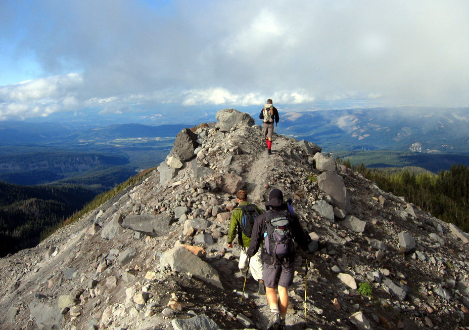
Mt. Hood
Ramona Falls
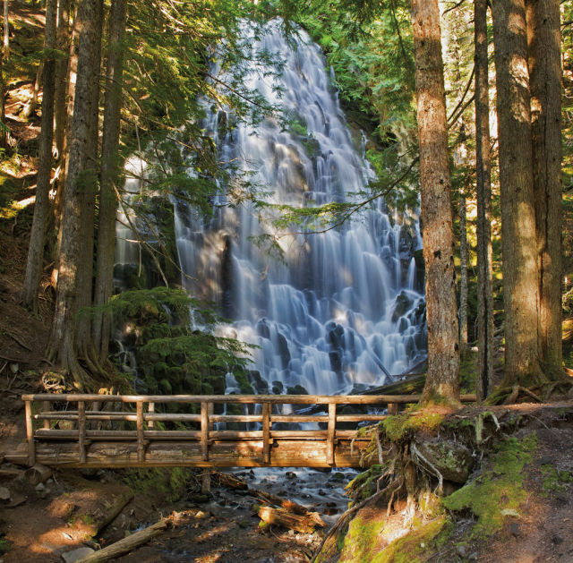
Image: Shutterstock
Hiking Trail
Hard Sure, geology was a snore back in college, but Ramona Falls proves the subject can be exhilarating out in the real world. Formed from a slab of columnar basalt, the 120-foot-wide cascade fans out like a giant bouquet of mossy toadstools draped in a shimmering, lacy sheet of water. The grueling 1,000-foot climb to the falls, which crosses a footbridge over the snowmelt-swollen Sandy River, tests hikers’ resolve each summer. But it doesn’t do much to deter crowds. Expect a packed house at Ramona’s showy display. —BMB
ROUND TRIP: 7 miles NEAREST TOWN: Zigzag DISTANCE FROM DOWNTOWN: 48 miles PACK: 60 Hikes within 60 Miles: Portland; Green Trails Map No. 461; Northwest Forest Pass ($5)
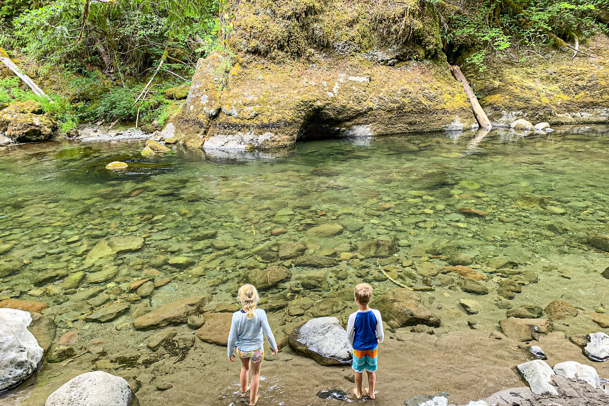
Wildwood Recreation Area
Hiking Trail
Easy Four hikes depart from the trailhead, but the near mile-long Cascade Streamwatch Trail, with its underwater window built into a bank of the Salmon River, makes the biggest splash. In this open-air aquarium, steelhead and native trout wiggle upstream right before your eyes. —BMB
ROUND TRIP: 2 miles NEAREST TOWN: Welches DISTANCE FROM DOWNTOWN: 45 miles PACK: 60 Hikes within 60 Miles: Portland; free maps at trailhead and Green Trails Map No. 461; $5 parking fee
Timothy Lake
Biking Trail
Easy Mountain bikers sweat. A lot. And this pristine 1,400-acre alpine reservoir is the perfect place to wash it away—after you’ve pedaled thirteen miles through the forest surrounding the lake. The smooth single-track and double-track road make this a lightning-fast ride, so don’t be surprised if you want to do it twice. A second time around means you’ll have an excuse to stop near the lake’s southern end and take in Hood’s hulking form hovering above the deep blue waters. —BMB
ROUND TRIP: 14 miles NEAREST TOWN: Government Camp DISTANCE FROM DOWNTOWN: 75 miles PACK: Mountain Biking Oregon; Green Trails Map No. 493
Salmon Butte
Hiking Trail
Hard Why this trail doesn’t see more boots is a bit of a mystery, though it may have something to do with the three-thousand-foot elevation gain. Ridgelines littered with pink rhododendrons (in bloom this month) and views of five volcanoes, as well as the Three Sisters, make this one of Hood’s hidden gems. And that’s to say nothing of the surrounding forty-five-thousand-acre Salmon-Huckleberry Wilderness, which, having never been touched by a chain saw, unfolds like an uncharted pine- wood ocean—one we’re quite happy to have all to ourselves. For now. —BMB
ROUND TRIP: 9 miles NEAREST TOWN: Welches DISTANCE FROM DOWNTOWN: 45 miles PACK: 60 Hikes within 60 Miles: Portland; Green Trails Map No. 493; Northwest Forest Pass ($5)
Gunsight Ridge
Biking Trail
Hard Roller-coastering the spine of a rocky ridge in the shadow of Mount Hood’s imposing summit, this trail delivers the kind of ride single-trackers salivate over: technical, steep, and twisty, with plenty of spectacular vistas. The push to reach Gunsight’s high point is a tough 2,400-foot climb. But screaming legs and lungs get their due on a stomach-dropping descent that tears down the sharp-cornered Gumjuwac Saddle and continues beneath Lookout Mountain, where you’ll catch teasing glimpses of Badger Lake’s green waters some 1,000 feet below. —BMB
ROUND TRIP: 19 miles NEAREST TOWN: Government Camp DISTANCE FROM DOWNTOWN: 65 miles PACK: Mountain Biking Oregon; Green Trails Map No. 462; a jeep (for the rough road to the trailhead)
Cooper Spur
Hiking Trail
Hard This high-altitude adventure leads trekkers from Cloud Cap Campground to the foot of Mount Hood’s massive Eliot Glacier, where mountaineers toting ice axes and crampons start their technical climbs. The trip from 6,000 feet to your stopping point at 8,500 feet might leave you sucking wind, but the sight lines, which stretch beyond Hood’s treeless, moonlike upper reaches toward Mounts Rainier and Adams, are well worth the burn. An old stone climber’s shelter along the way makes a great place to catch your breath and watch as Adams’s snowy slopes are tinted pink by the setting sun. —BMB
ROUND TRIP: 7 miles NEAREST TOWN: Hood River DISTANCE FROM DOWNTOWN: 93 miles PACK: 60 Hikes within 60 Miles: Portland; Green Trails No. 462; Northwest Forest Pass ($5)
Lookout Mountain
Hiking Trail
Moderate Each summer, the flanks of Lookout Mountain are draped in a vivid cloak of wildflowers, giving the peak the feel of a Technicolor fever dream. The showing is especially impressive in late June, when the slopes are crowded with the pink blooms of mountain shooting star, the white petals of marsh marigold, and the blue buds of Jacob’s ladder. A series of open meadows offers plenty of photo-op stops, but nothing outdoes the summit. At 6,500 feet, Lookout boasts 360-degree views of Oregon and Washington’s complete catalog of volcanoes, and Diamond Peak to boot, all flecked with flowers. Now that’s what we call “in living color.” —BMB
ROUND TRIP: 2 miles NEAREST TOWN: Hood River DISTANCE FROM DOWNTOWN: 77 miles PACK: Oregon’s Best Wildflower Hikes; Green Trails No. 462; Northwest Forest Pass ($5)