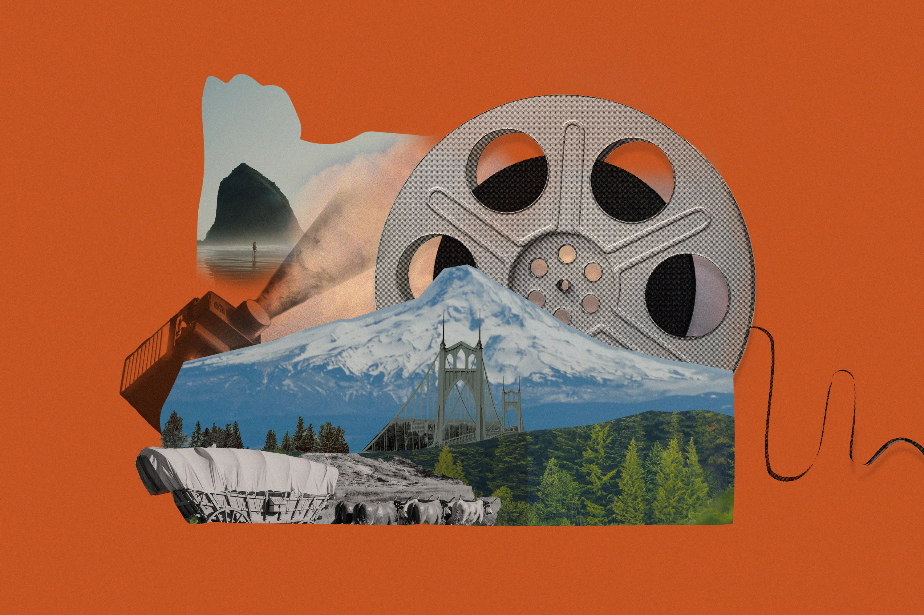
Long Haul

Olympic Wilderness Coast (Backpacking)
Drive time: 5 hours
Hike: 2 to 40 miles (RT)
DR. SEUSS himself would raise an eyebrow at the otherworldliness of this, one of the wildest beaches left in the Lower 48—from its fanciful tidal pools to massive “sea stacks” rising like hairy primordial beasts from the surf. And it’s all within easy schlepping distance of your parking spot at Rialto Beach. Overnighters must hike at least a mile to reach legal camping, after which there’s an array of places to pitch your tent—behind driftwood in the sand, or in the trees (check the tide tables for which to use, lest you wake up wet). Heartier types with detailed tidal maps can continue 20 miles to Lake Ozette. Here, where all you can hear is the crashing surf, the passing orcas and undulating urchins will become your closest friends. —RANDY GRAGG
Vitals: nps.gov/olym; open year-round; $7
{page break}
Cape Blanco State Park
Drive time: 5 hours
SET ATOP 200-foot earthy red bluffs with a black-sand-streaked beach below, Cape Blanco State Park is easily one of the state’s most stunning spots. In early summer, the park’s 1,895 acres of forested headland and fields are blanketed in wildflowers such as lupine, forget-me-nots, and azaleas. The campground itself is tucked into a thick forest of Sitka spruce, giving campers welcome shelter from coastal wind. In addition to 12 miles of hiking, biking, and horse trails—plus good old-fashioned beach recreation—the Cape Blanco Lighthouse is just a short stroll from the campsite. From your perch on its observation deck, you’ll be at Oregon’s westernmost point, on top of the oldest lighthouse in the state, and, it feels, the world. Cue Titanic’s theme song.
Vitals: oregonstateparks.org; open year-round; 52 sites; $20; firewood; drinking water; flush toilets; showers; fire pits; picnic tables; dogs allowed
Also Nearby:
Humbug Mountain State Park
Warm and sheltered from the ocean winds, this campground is an excellent base for surfers, mountain bikers, and hikers. Bullards Beach State Park Bisected by the Coquille River, this Bandon park is a popular fishing and crabbing destination, with an expansive and well-developed campground.
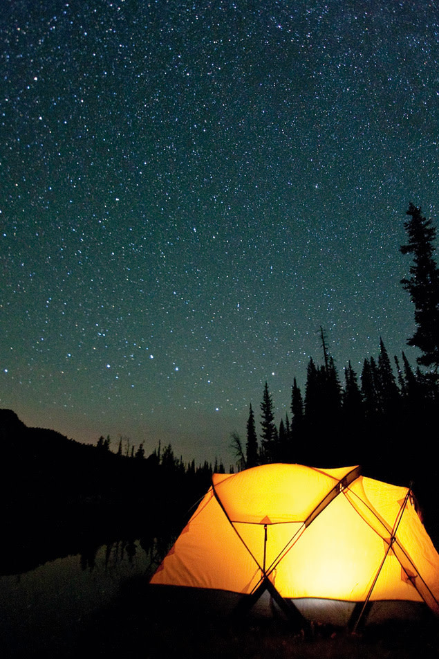
Van Gogh ain’t got nothin’ on this starry night in Eagle Cap Wilderness.
Image: Ben Canales
Wallowa Lake State
Recreation Area
Drive time: 6.5 hours
SANDWICHED neatly between the sawtooth Wallowa Mountains and an ancient glacial lake, this expansive campground positions thrill-seekers for adventures on land and water—or even in the air. The park’s 89 tent sites are grouped amid towering ponderosa pines and give easy access to a picnic area and the 3.7-mile-long lake, where giant Kokanee salmon and Mackinaw trout swim. When the fish aren’t biting, the myriad floating docks make for perfect swimming pit stops. About a mile from the campsite, hiking trails lead into the Eagle Cap Wilderness—nearly 550 untouched square miles of alpine peaks, glacier-gouged valleys, and sparkling lakes. To observe the drama from a safe (if vertiginous) distance, take a ride on the Wallowa Lake Tramway, a gondola that ferries you on a 15-minute, 3,700-foot ascent to the summit of Mount Howard (fear not, it takes you back down, too).
Vitals: oregonstateparks.org; open year-round; $20; 89 sites; firewood; drinking water; flush toilets; showers, fire pits; picnic tables; reservations available
Also Nearby:
Hurricane Creek Campground
Anglers love the 10 miles of fishing along Hurricane Creek, but this is also a great hiking base.
Boundary Campground
An hour northeast of Wallowa Lake, Boundary’s bare-bones campground near the banks of Bear Creek grants you convenient access to the Eagle Cap Wilderness.
{page break}
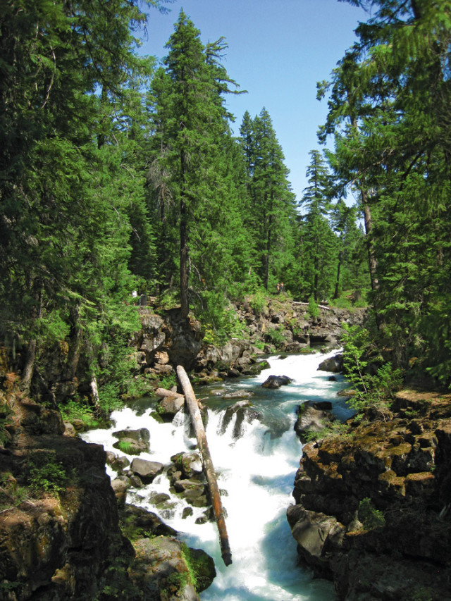
The roaring Rogue River.
Image: Pam Reid
Natural Bridge Campground
Drive time: 5.5 hours
THIRTY MILES into its winding journey from Crater Lake’s Mount Mazama to the Pacific Ocean, the Rogue River plunges 200 feet beneath a moss-laden rock formation (the Natural Bridge) into a subterranean lava tube, only to surge back to the surface a stone’s throw downstream. Tucked in the Rogue River-Siskiyou National Forest, Natural Bridge Campground sits adjacent to this geological gem, with 17 riverside sites. The Upper Rogue River Trail, a 50-mile trek that follows the river from Lost Creek Lake to Boundary Springs, flanks the campground, giving guests their own alluring way to disappear for the day.
Vitals: Open May to October; 17 sites; $10; vault toilets; fire pits; picnic tables; dogs allowed
Also Nearby:
Farewell Bend Campground
Near a great view of the Upper Rogue, this well-developed area has space for large trailers and RVs.
Mill Creek Campground
This secluded spot sits on the banks of Mill Creek about two miles from the Rogue River.
Sky Lakes Wilderness (Backpacking)
Drive time: 6 hours
Hike: Varies
DESIGNATED AS a wilderness area by Congress in 1984, Sky Lakes Wilderness, near Klamath Falls, is a 100,000-plus-acre swath of Southern Oregon outback jam-packed with the very best scenery Mother Nature has to offer: a series of peaks dips into three glacial-lake basins full of cliffs, creeks, springs, sparkling pools, massive lakes, open forests, and grassy meadows. Eighty-two miles of trail crisscross the eastern portion of the area, so hikers can bite off as big (or small) a chunk as they please. Ambitious types might hike from the Sevenmile trailhead outside Fort Klamath, through the Seven Lakes Basin, and over the craggy shoulder of Devil’s Peak (just drop off a shuttle vehicle at the Cherry Creek trailhead first). The steep elevation gain may have your quads complaining, but it also means you’ll have those high alpine views to yourself.
Vitals: US Forest Service Sky Lakes Wilderness Map