Where to Eat, Stay, and Play Around Mount St. Helens

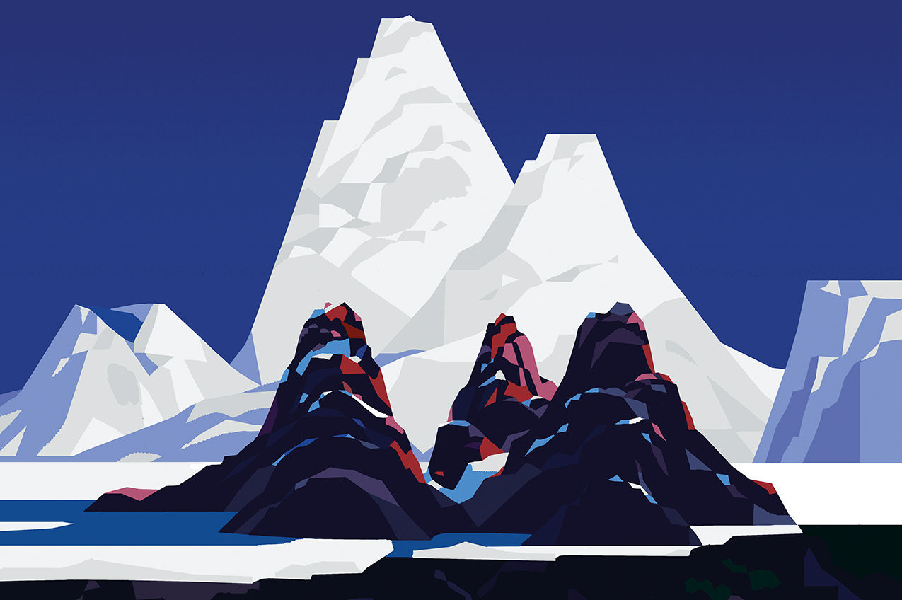
“Eruption decapitates St. Helens,” boomed The Oregonian’s front page on May 19, 1980. Below, an enormous photo showed a billowing column of smoke rising 15 miles above the sheared-off peak. Pre-eruption, the symmetry of St. Helens earned it comparisons to Fuji. But the Cascades’ youngest volcano is also the most volatile, and 46 years ago it remade itself. The summit fell about 1,300 feet (current elevation: 8,363 feet), and debris avalanches, mudflows, and scorching, steam-driven blasts transformed the surrounding landscape. Today, the mountain beckons as both laboratory—geologists watch the crater’s slow-growing lava dome as ecologists chronicle returning plants and animals—and adventure destination.
Eat
Dining is pretty low-frills around the volcano (in other words, pack lunch). But there’s charm en route. If you’re driving north to Coldwater, pull off I-5 for Sadie and Josie’s Bakery in La Center—the spot, owned by two sisters, makes fresh doughnuts six days a week (closed Sundays). Continue north to Castle Rock, swinging through Luckman Coffee for caffeine and breakfast sandwiches before turning east onto Highway 504; snag last-minute trail snacks at Drew’s Grocery in Toutle. After hours gaping at the blast zone, hit Castle Rock again for dinner: tacos on fresh tortillas made with house-ground masa at the family-owned Los Altos, or ahi crostini, rib eye, and zhuzhed-up cocktails at Amaro’s Table.
In Cougar, Lone Fir Resort’s Bigfoot’s Lodge obliges big appetites: stacked burgers, loaded pizzas, a beef “Sasquatch Stew” and a “Mount Meatna” sandwich. Find beer, burgers, and wood paneling across the road at Cougar Bar & Grill.
Come late summer, the acidic soil of the forests surrounding St. Helens helps produce some of the juiciest huckleberries around. The fruit was once an important food source for the area’s Indigenous people, who set controlled fires to help the fields flourish. Individuals can harvest up to one gallon per day and three gallons per year; get a free use permit online first.
Stay
In the Coldwater Lake area, bunk at the peaceful Eco Park Resort (six cabins with solar-powered lighting and propane heat, plus a yurt and a variety of tent and RV sites) or the shaded Kid Valley Campground (about 30 sites, for both RVs and tents). A skosh farther from the mountain, Silver Lake Resort is a fave for families, with simple motel rooms, well-appointed cabins, and space for RVs and tents, plus rentals of kayaks, canoes, SUPs, pontoons, and motorboats.
To the south, pitch a tent at PacifiCorp-managed campgrounds Beaver Bay and Cougar, both on Yale Lake—technically a reservoir, it has a lovely swimming beach. Or revel in the rustic log furniture and checkered quilts of Cougar’s Lone Fir Resort, a rambling property where kids splash in a small swimming pool and teens play arcade games in the clubhouse (bring quarters). About 30 miles east of Cougar, along the lushly wooded Lewis River, the Forest Service–run Lower Falls Campground offers 43 sites and proximity to several spectacular waterfalls that plunge into big, swimmable pools.
Everything booked? Dispersed camping is allowed throughout the Gifford Pinchot National Forest. Carry out all your trash, don’t camp in fragile meadows, and know how to dig a cathole (it’s for your poop).

Play
First off: Go see that famous crater. Johnston Ridge Observatory, smack-dab in the blast zone to the mountain’s north, has been closed since a 2023 landslide (can’t keep a good volcano down), so head instead to the Science and Learning Center at Coldwater. It’s run by the Mount St. Helens Institute, which offers campouts, guided hikes, even treks into the crater. Peer across the Pumice Plain before strolling an interpretive loop, either the paved, quarter-mile Winds of Change or the flat, 2.3-mile Hummocks Trail, which winds past pyroclastic mounds (essentially ejected chunks of mountain). At nearby Coldwater Lake, created in 1980 by a valley-damming flood of debris, hike the shoreline or drop a paddle; there’s easy boat access for kayaks and canoes.
To the east, Windy Ridge Interpretive Site awaits with a wheelchair-accessible vista of the crater and Spirit Lake, which still wears a shifting, spooky blanket of trees swept in 46 years ago. Trot up 368 wooden steps for even more of a view.
On the south side, bring lights and layers for Ape Cave, one of the longest lava tubes in the country (timed reservation required). Just up the road is Climbers Bivouac trailhead, which connects to the Loowit Trail—a 30-mile, round-the-mountain loop—and Monitor Ridge, the most popular summer route to the summit (permit required). While not a technical climb, it’s not easy: The trail gains 4,500 feet over 5 miles, and the final stretch, the so-called “vertical beach,” is up a steep scree slope.
Squatch Watch

Image: Matteo Berton
In July 1924, five miners on the southeast side of St. Helens claimed they were attacked by ape-like creatures hurling rocks at their cabin. The Oregonian gave it front-page treatment—albeit on a smaller scale than the 1980 eruption—and described the beasts as “the fabled mountain devils or ‘mountain gorillas’ of Mount St. Helens.” Indeed: Sasquatch stories have been passed down by the region’s Indigenous people for generations, and a robust storytelling tradition continues to the present. Longview, Washington, hosts Squatch Fest every winter.