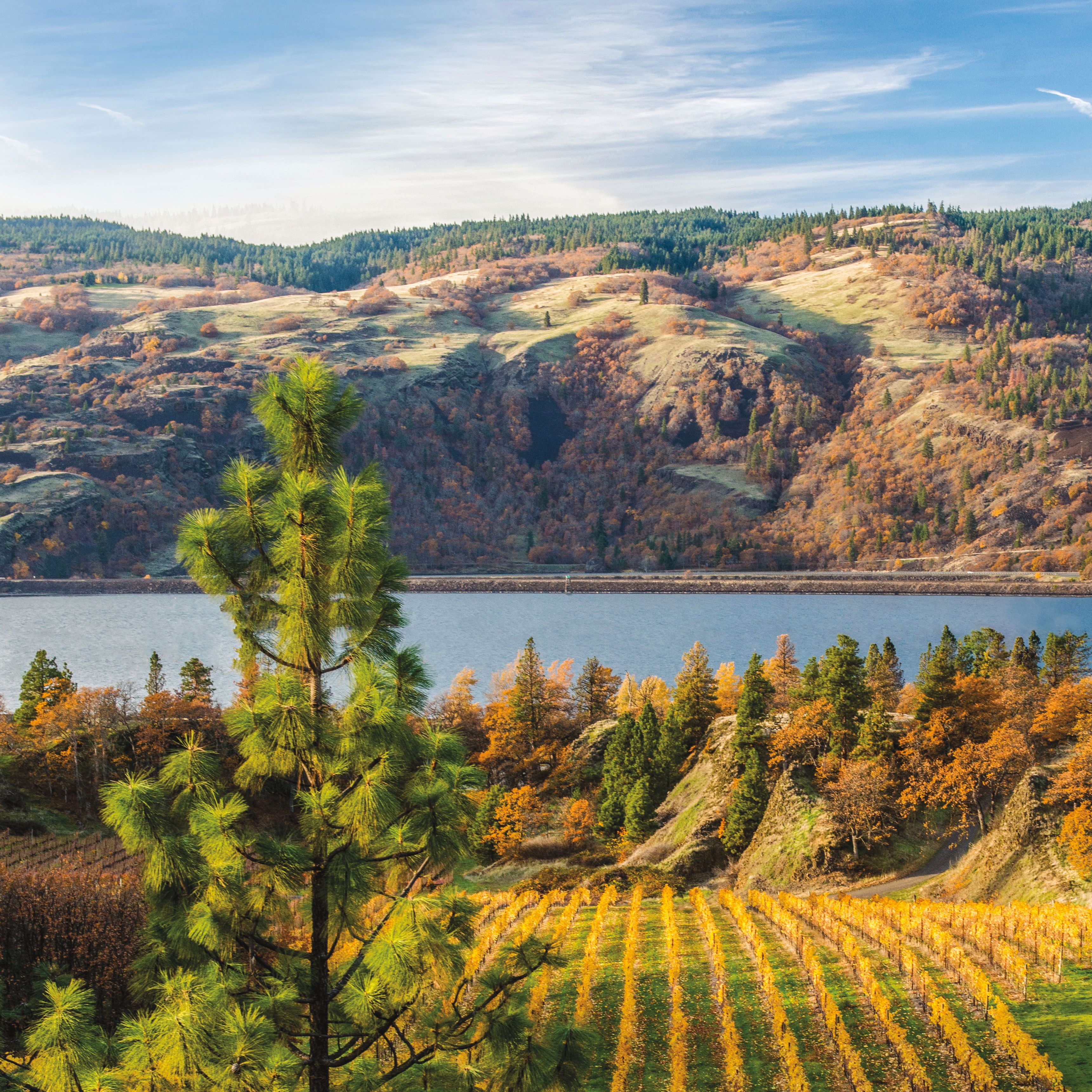
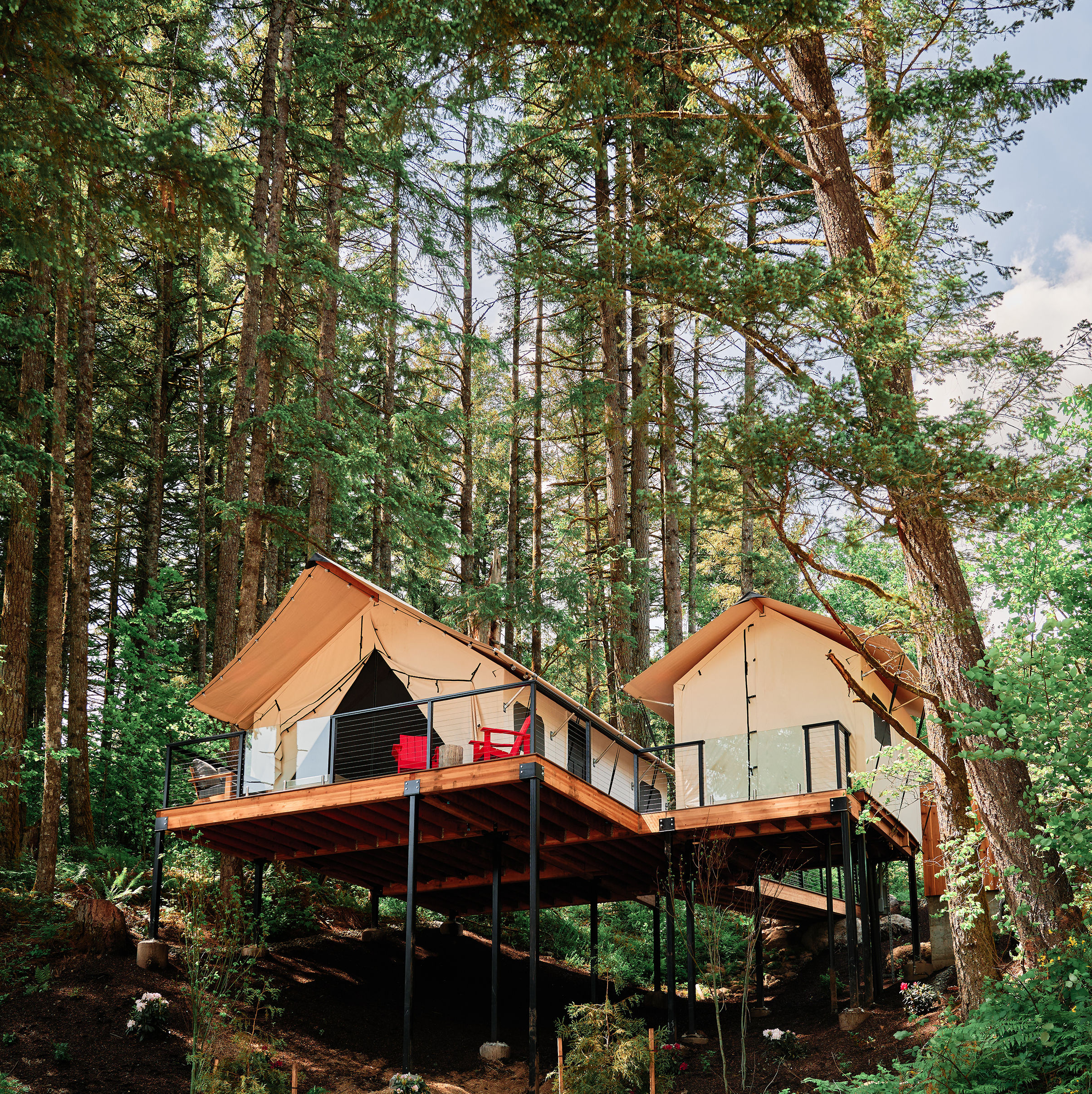
How’d the Gorge Get There?

Image: Courtesy Darren White
17 Millions Years Ago
The Columbia River Gorge is merely a flat plateau at the western end of North America. For the past 35–45 million years, tectonic plates have been colliding in the Pacific Northwest, making it highly volcanic.
17–6 Millions Years Ago
Volcanoes spew lava across 64,000 square miles of land in present-day Washington, Oregon, and western Idaho. The heavy lava flows west toward the ocean, roughly along the contours of what will be the Columbia River, settling in miles-thick flat basalt (hard, black rock) layers.
1 Million Years Ago
The last Ice Age begins, forming a huge ice sheet—known as the Cordilleran Ice Sheet—that stretches from Alaska to western Montana.
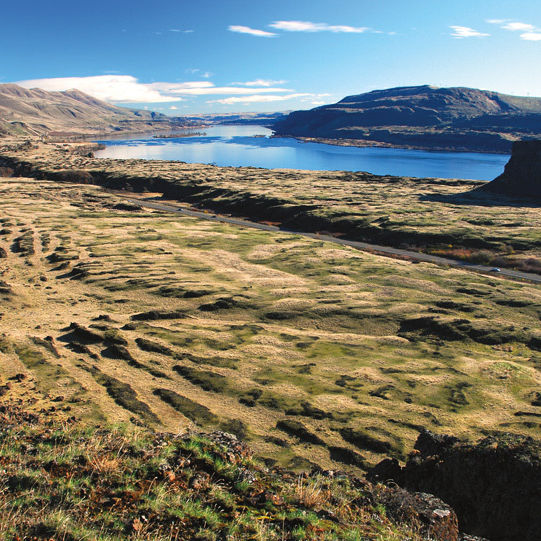
19,000 Years Ago
As the Ice Age nears an end, the Cordilleran sheet moves south. Melted water gets trapped behind ice dams creating massive lakes, including one in Montana known as Lake Missoula, which measures more than 200 miles across and 2,000 feet deep.
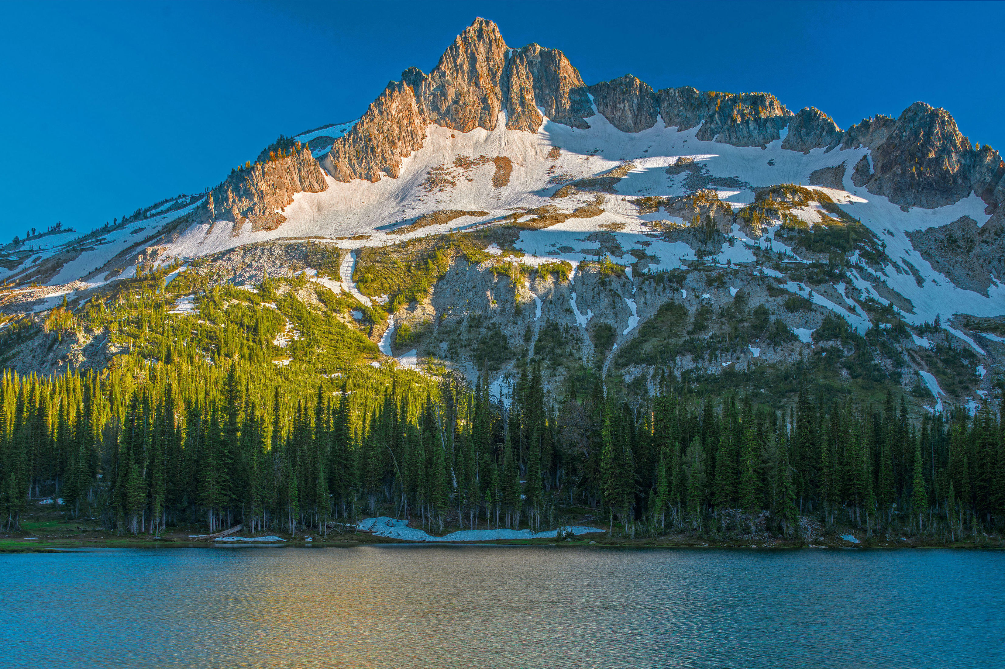
18,000–15,000 Years Ago
The ice dam holding back Lake Missoula gives way, sending 550 cubic miles of glacial water rushing toward the Pacific Ocean at more than 60 mph and carving out the walls of what would become the Columbia River Gorge. This process repeats about 40 times over the course of 2,500 years.
11,000 Years Ago
First archaeological evidence of human settlement in the Gorge by Asiatic people who crossed the Bering land bridge into North America. Not much is known about the culture, except that they thrived on the area’s abundant fish and berries.
9,000 Years Ago
A thriving salmon-fishing people find a home east of The Dalles at Celilo Falls.
Between 1550 and 1700
The faces of Table Mountain and Greenleaf Peak tumble into the Columbia River near Cascade Locks (possibly because of a 9.2 earthquake), creating a 3.5-mile-wide natural dam that drowns more than 35 miles of forest. The Klickitat tribe records the dam in oral legend as the Bridge of the Gods.
Within Two Years After That...
The Bridge of the Gods bursts, washing away a large section of the natural dam but creating the Cascade Rapids in the process—a major obstacle in navigating the river for the next two centuries.
1792
Captain Robert Gray, sailing on the fur-trading vessel Columbia, becomes the first white explorer to travel the Columbia River, heading some 18 miles inland from the ocean—and naming it after his ship.
1896
The Cascade Locks are built so steamboats can bypass the treacherous Cascade Rapids, opening up travel to the lower Columbia River. The locks stay in use until the construction of the Bonneville Dam in 1937.
1937
Using New Deal money, the federal government opens the Bonneville Dam near the old Cascade Locks. The new dam provides power for the area’s burgeoning economy but drastically changes the environment, reducing the upriver salmon populations. It is the first of three dams in the Gorge.
November 1986
President Ronald Reagan signs into law the National Scenic Area Act, designating 292,500 acres of the Columbia River Gorge as protected federal land.
2007
PGE begins operations of a 217-turbine wind farm (the largest on the Oregon side), spreading out over 25,000 acres just south of the protected National Scenic Area.