A User's Guide to St. Helens Highlights
So you want to climb Mount St. Helens?
Unlike its siblings—Adams, Rainier, and Hood—Mount St. Helens isn’t a technical climb, but it’s nothing to scoff at.
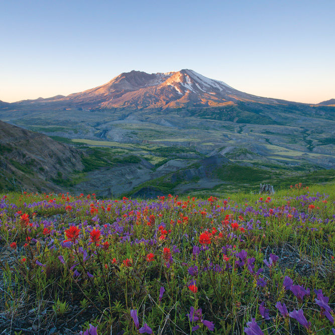
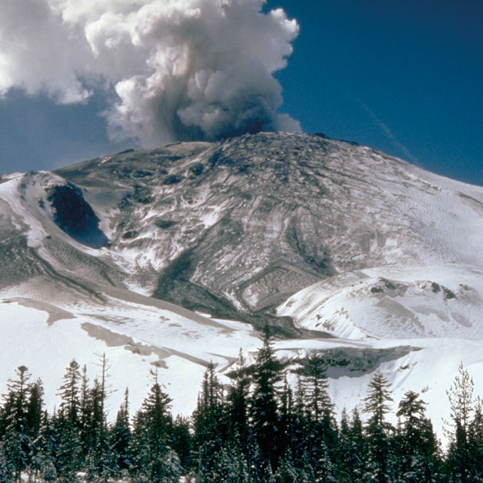
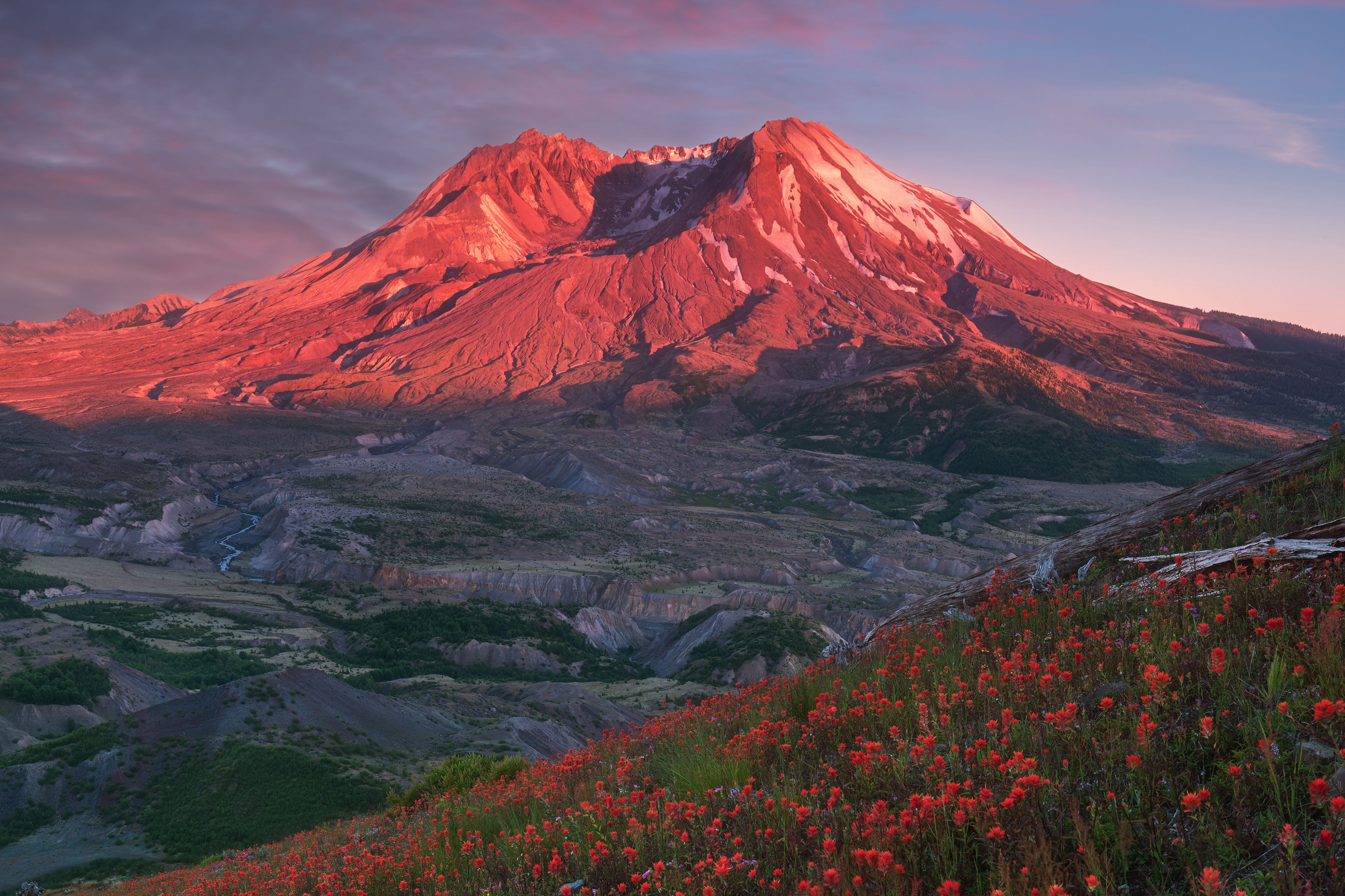
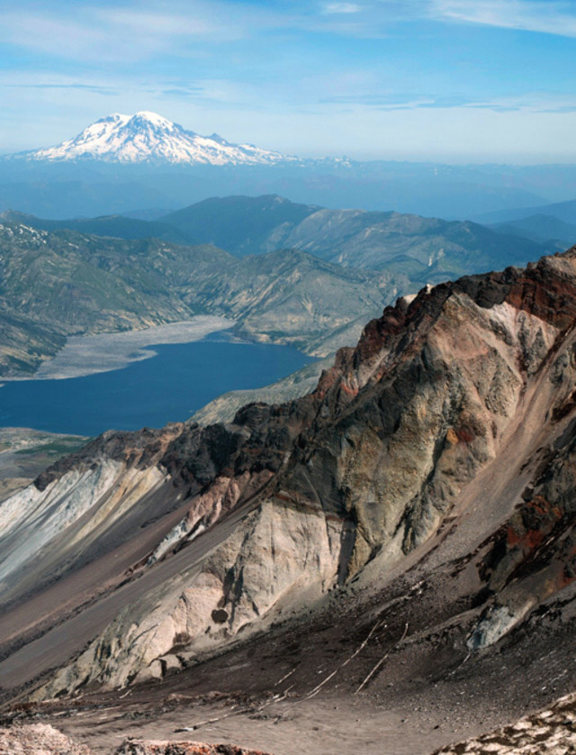
At 8,365 feet, the route to the crater rim is both strenuous and potentially hazardous, due to ice, large boulders, loose pumice, and unpredictable weather. But for hardy first-timers who’ve taken the time to prepare, it’s a rewarding exploit. The Monitor Ridge Route, launching from the Climber’s Bivouac on the south side of the mountain, is the most popular path up St. Helens. The route gains 4,500 feet over the course of five miles and three discrete sections: two miles walking on a wooded trail; two miles scrambling over boulder fields; and a final, grinding mile climbing a steep scree slope of loose pumice, ash, and sand. From the glaciated lip of the crater, the summit views are downright jaw-dropping, looking north over a surreal volcanic landscape and across Spirit Lake to Mount Rainier.
Reserve: Climbing permits are required year-round above 4,800 feet, and are distributed by Mount St. Helens Institute for $22. Visit mshinstitute.org for details and to obtain a permit.
Bring:
- Sturdy, waterproof boots and gaiters
- Trekking poles
- 3 quarts water
- High-energy snacks
- Layered clothing, rain gear, gloves, hat
- Green Trails map, compass
- Headlamp
Go Guided: Mount St. Helens Institute also offers weekly guided rim climbs throughout the summer for $175. Visit mshinstitute.org for more details, and to reserve your spot.