Hiking and Biking in the Portland Metro Area
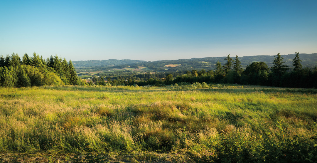
Image: Justin Myers
Woods Memorial Natural Area
Often called Woods Park, this densely wooded, shade-cooled 36-acre glen just south of Multnomah Village offers many entry points from the surrounding neighborhood streets, with the easiest parking located at the gates that close a portion of SW Wood Parkway. Follow the closed road to the Stairway Trail and descend to Woods Creek, with stops for slug sightings and thimbleberry breaks. Trails can be slippery, but metal mesh and a wooden boardwalk lining the creek help keep you on your feet. Round Trip: Up to 2 miles; Elevation Gain: Up to 200 feet; Distance from Downtown: 7 miles
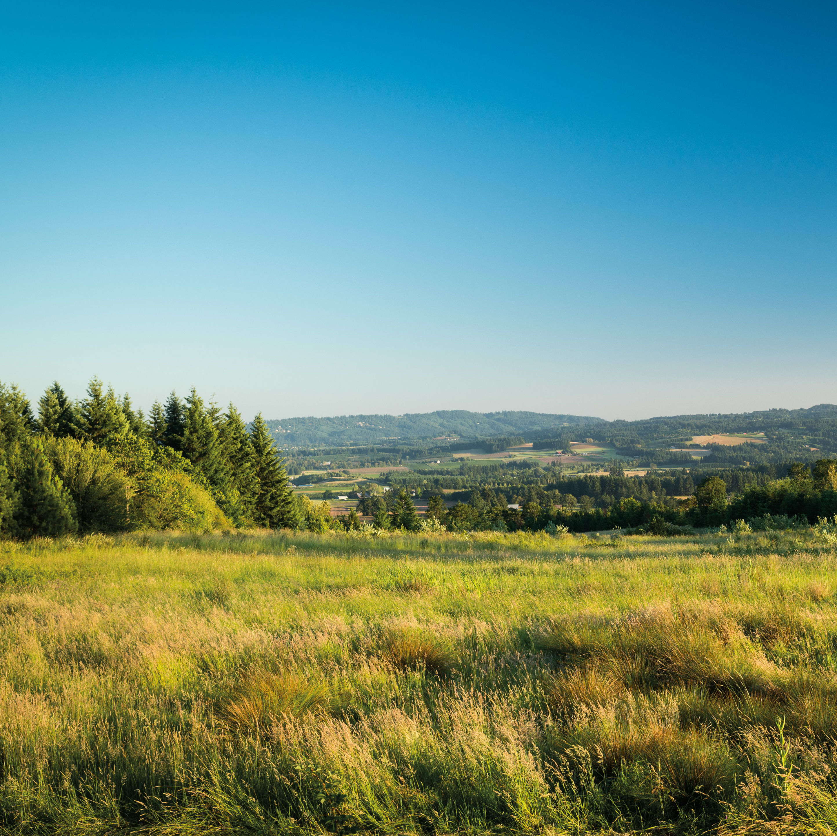
Cooper Mountain Nature Park
From the summit of this six-year-old, 230-acre nature park—once a volcano—the lush Tualatin River Valley rolls for miles toward the Chehalem Mountains. Surefooted gravel paths trace arcs through native grasses dotted with restored wetlands and copses of white oak and madrone. Turn in at the farmhouse-red Nature House and soak up the view from a swath of benches. Then, wend your way through the Little Prairie Loop, watching for tiny red-legged frogs, a trailside birder’s “listening trumpet,” and—if you’re lucky—glimpses of the park’s resident bobcats. Round Trip: 3.5 miles; Nearest Town: Beaverton; Distance from Downtown: 13 miles
Springwater Corridor
A mostly car-free route great for logging serious miles, the silky-smooth Springwater trail also lends itself to shorter jaunts. For example, cyclists can take the MAX Blue Line to the newly completed Gresham-Fairview Trail and zip quickly downhill to catch the quieter outermost section of the Springwater. Where the pavement ends, in Boring, there’s a well-kept restroom, a clutch of markets and pubs to refuel for the ride back (including the very-limited-hours Boring Brewing), and, of course, a photo op in front of the “Boring, Oregon” sign. Round Trip: 43 miles; Distance from Downtown: 1 mile
Tolinda Ridge Trail
Sweet microclimates. The gentle percussion of woodpeckers. Heart-pounding, glute-wrecking climbs. Hike a quarter-mile along Forest Park’s ridge-hugging Tolinda Trail, and the din of the city fades, replaced by rustling stands of bigleaf maples and nattering squirrels. As you trek, watch your step; the steep, knotty path offers some tricky footing before you transition, neatly, to the Waterline Trail. Intersecting Leif Ericson and Wildwood, this out-and-back easily becomes a longer loop, or you can reverse-engineer your hike to end at Waterline’s apex—a water tower in a lush meadow—just a stone’s throw from a well-deserved quaff at nearby Skyline Tavern. Round Trip: 3 miles; Elevation Gain: 1,000 feet; Distance from Downtown: 7.5 miles
- Watering Hole: The iconic, 100-year-old Skyline Tavern got a minor makeover this past spring—now, lava lamps mix with the Schlitz signs and keno machines while après–Forest Park athletes get neighborly with longtime regulars. Out on the expansive, conifer-ringed deck, a self-serve grill pit beckons alongside ample opportunity for Ping-Pong.
- DO: High above the city, in a grassy amphitheater surrounded by a sea of roses, the Washington Park Summer Festival takes over for one week of August, serenading picnickers with live opera, “smokin’ hot” jazz, Mardi Gras funk, and more. Aug 7–14, Washington Park Rose Garden Ampitheatre
- Go Big: When the Orange Line opens in September, Portland cyclists get easy access to miles of multiuse paths intersecting the new tracks, like the Trolley Trail: a friendly, six-mile backyard greenway that links Milwaukie with Gladstone—and connects to local trails and streets that run clear across the Clackamas and Willamette Rivers to Oregon City’s spectacular Willamette Falls.