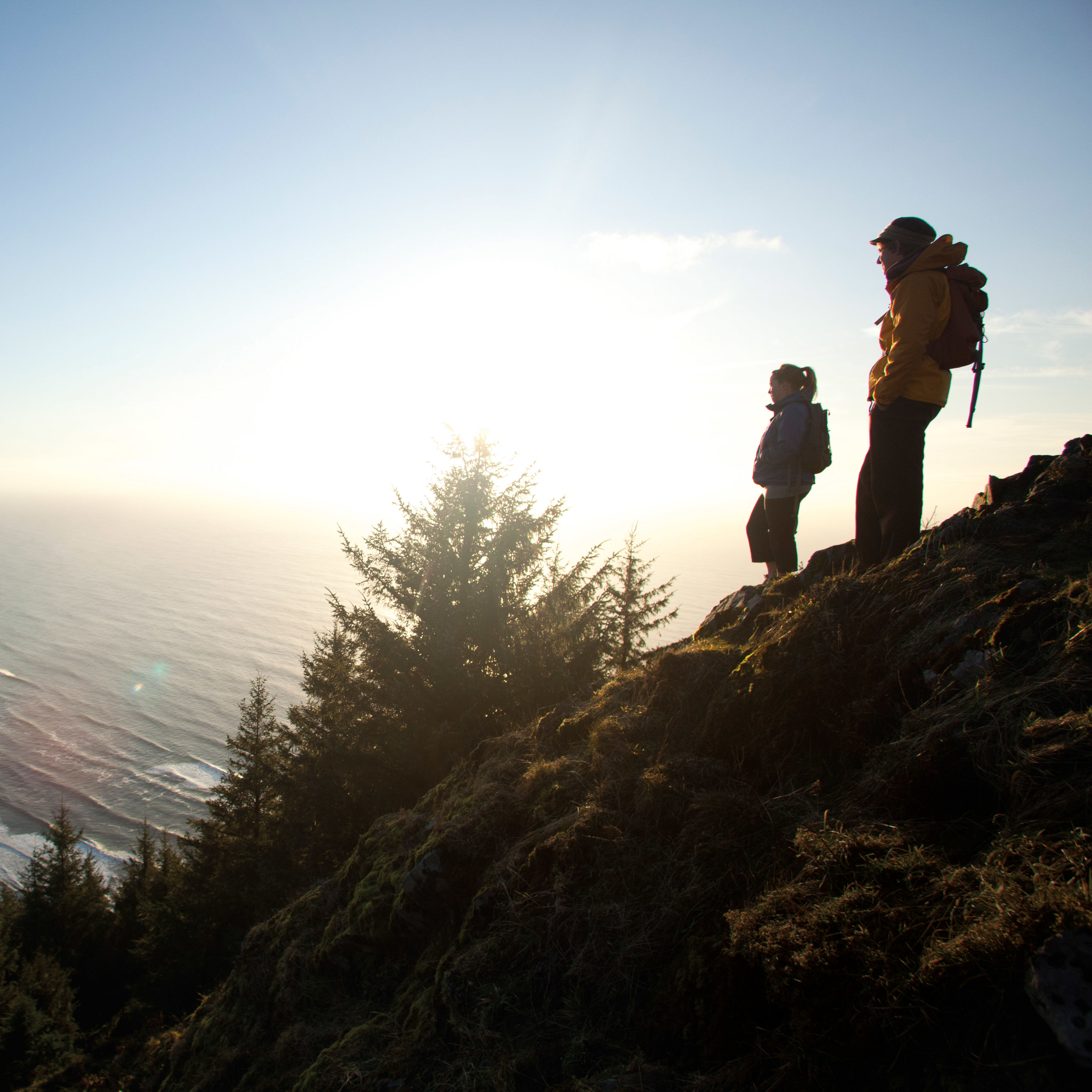
Hiking and Biking in Mt Hood Territory
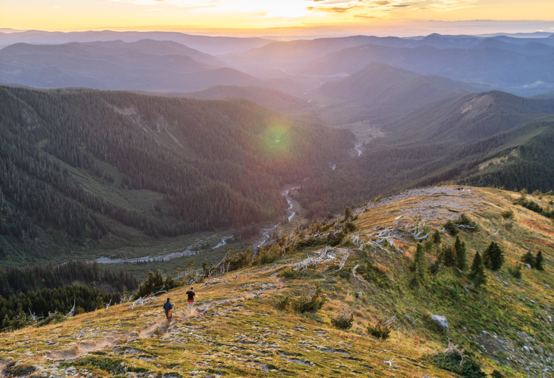
Image: Isaac Lane Koval
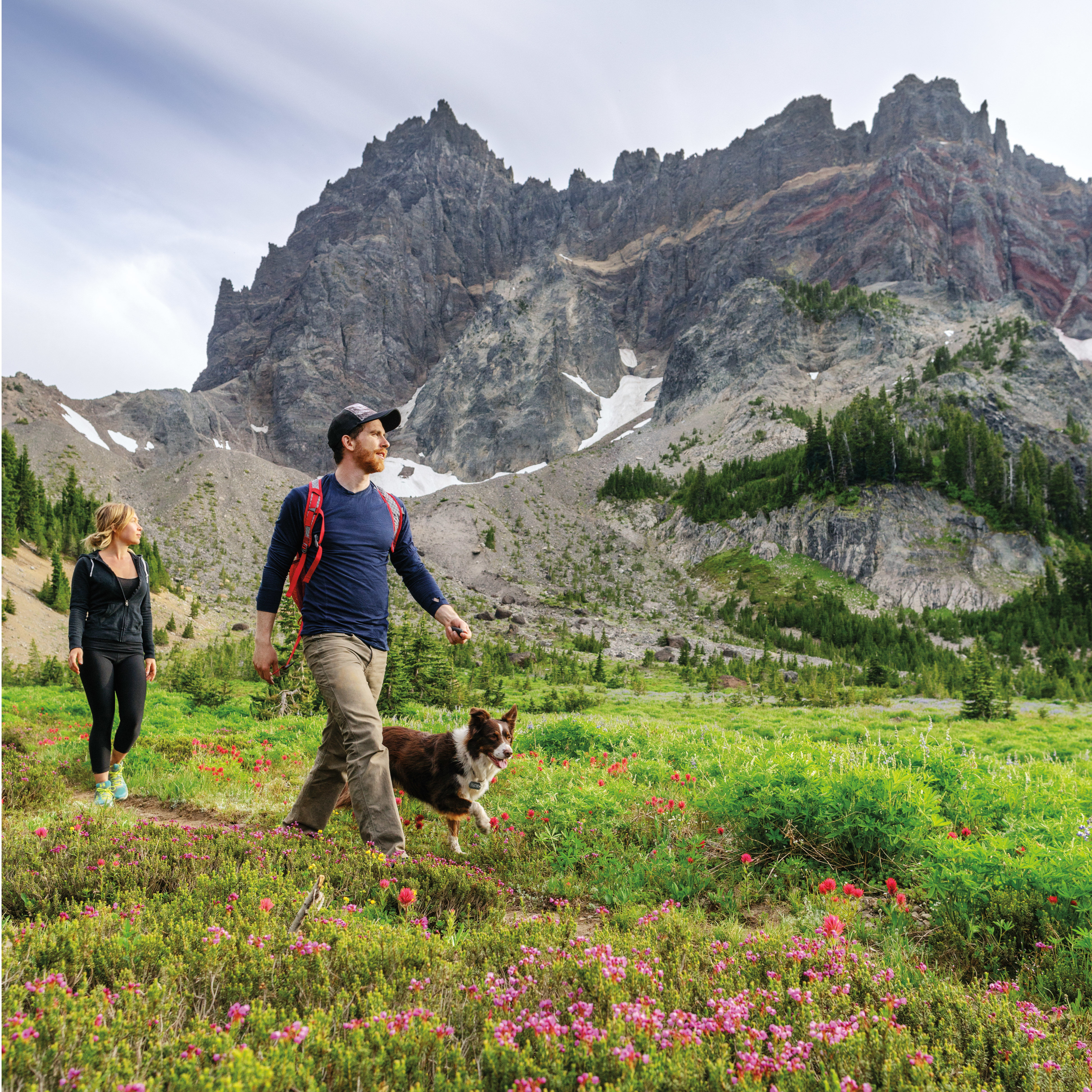
Elk Meadows
One of Mount Hood’s classic day hikes sits just a few miles beyond the Meadows Ski Resort, on the less-explored southeast flank of the volcano. Wade through the gushing Newton Creek and clamber up eight long switchbacks for a picture-perfect, subalpine meadow dotted with ripe huckleberries in late summer and ringed with campsites, picnic benches, and a three-walled shelter with unparalleled views of Hood. For a more difficult, 3.4-mile extension, continue up the mountain to the aptly named Gnarl Ridge for panoramic views from the wind-swept ridgeline. Round Trip: 6 miles; Elevation Gain: 1,230 feet; Nearest Town: Government Camp; Distance from Downtown: 1h 30m
East Zigzag Mountain via South Burnt Lake Trail
Most day-trippers take the northern approach to Burnt Lake, one of Hood’s few treasured alpine lakes, and miss East Zigzag’s peak altogether. The five-mile road to the South Burnt Lake trailhead is treacherous (4x4 with decent clearance only), but you’ll be rewarded with solitude, plentiful wildflowers, and views of St. Helens, Adams, and Rainier. On hot days, descend another mile down to the shores of Burnt Lake for a bracing plunge, or snag a spot at one of the area’s coveted campsites. Round Trip: 8 miles; Elevation Gain: 2,000 feet; Nearest Town: Zigzag; Distance from Downtown: 1h 30m
McNeil Point
This thigh-burning high-alpine adventure across Hood’s northwest shoulder is the ultimate cure for wanderlust. Start out looping around Bald Mountain for a stunning sightline to Sandy Glacier’s craggy face, towering over the sylvan Muddy Fork River Valley. Weave your way across glacial, wildflower-choked streams and between small mountain tarns before reaching McNeil Point at 6,100 feet: a stone-cobbled climber’s hut built in 1930, with mountain vistas spanning Oregon and Washington. Round Trip: 9.6 miles; Elevation Gain: 2,220 feet; Nearest Town: Zigzag; Distance from Downtown: 1h 30m
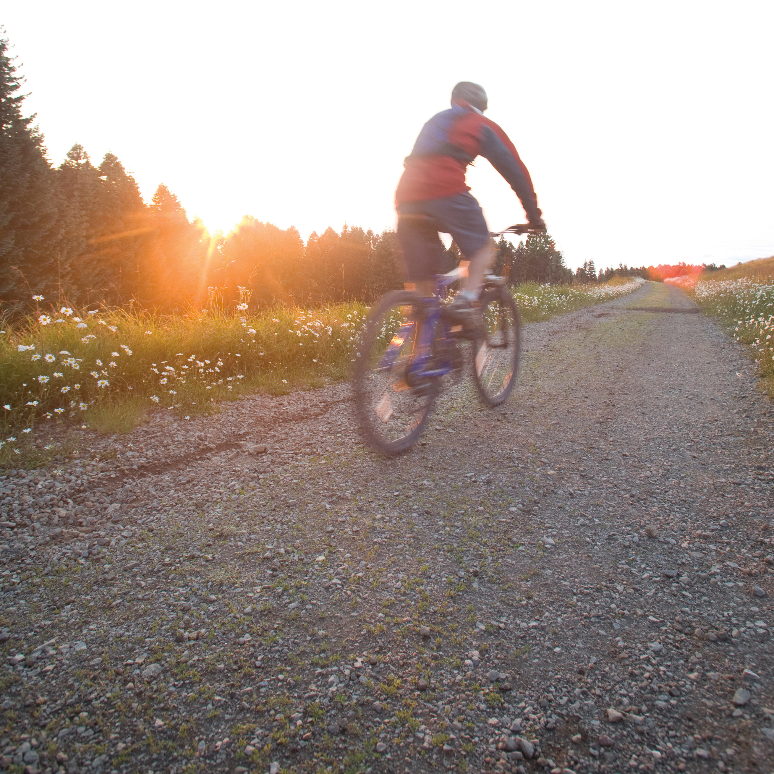
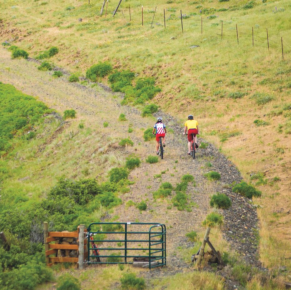
Sandy Ridge Trail System
The country’s longest network of mountain-bike-specific trails on federal land, Sandy Ridge is paradise for singletrack junkies of all levels. Opened in 2009 by the Bureau of Land Management, it now spans some 15 miles of technical terrain, flowing through a thick forest of Douglas fir, western hemlock, and western red cedar. Zip down the entire length of Sandy Ridge on “Hide and Seek,” a speedy beginner/intermediate track, or test your mettle on the double-black “Follow the Leader,” rife with exposed slopes and boulder piles. Trail System: 15.5 miles; Elevation Gain: 1,300 feet; Nearest Town: Brightwood; Distance from Downtown: 1h
Alder Flat
This little-known car-camping gem gets its name from the towering grove of red alder that lines a scenic, fern-laced stretch of the Clackamas River. Pack your cooler and set forth on a flat, sub-mile hike through old-growth forest that leads to a 40-foot-long rocky shoreline where six campsites overlook a basalt-encircled, blue-green swimming hole. Round Trip: 1.8 miles; Elevation Gain: 320 feet; Nearest Town: Estacada; Distance from Downtown: 1h 10m
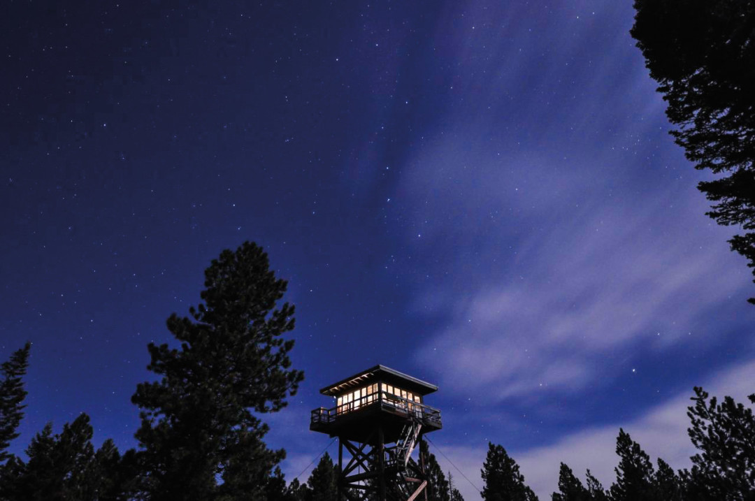
Image: Jeff Smith
- Post-Hike Watering Hole: A detour ’round the mountain might add some mileage to your return trip, but it’s worth it for a taste of Pfriem Family Brewers Belgian-style ales just blocks from Hood River’s Waterfront Park.
- Stay Overnight: Mount Hood’s only rentable year-round fire tower is Fivemile Butte Lookout, a 40-foot-high loft at the end of a three-mile hike, crowned with 360-degree views of the mountain’s eastern flank, a wood-burning stove, and a bed. Reservations only
- Do: In the summertime, the mountain’s coziest ski area transforms into the Mt Hood Adventure Park at Skibowl, a high-altitude playground with an alpine slide, zip lines, and bungee jumping.
- Go Big: To see our signature peak from every angle—and to soak up views of the Cascades, Coast Range, and the high desert to the east—rise to the challenge of the high-alpine, 40-mile Timberline Trail, a four- to six-day circumnavigation.