On Idaho Time in Oregon’s Southeastern Corner
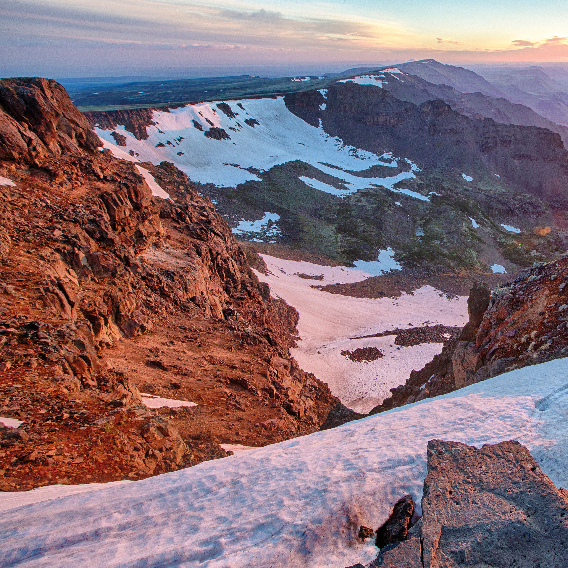
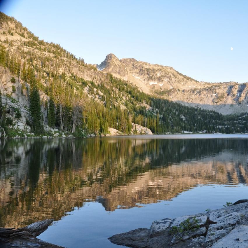
A gorge view on Steens Mountain
Image: Courtesy BLM
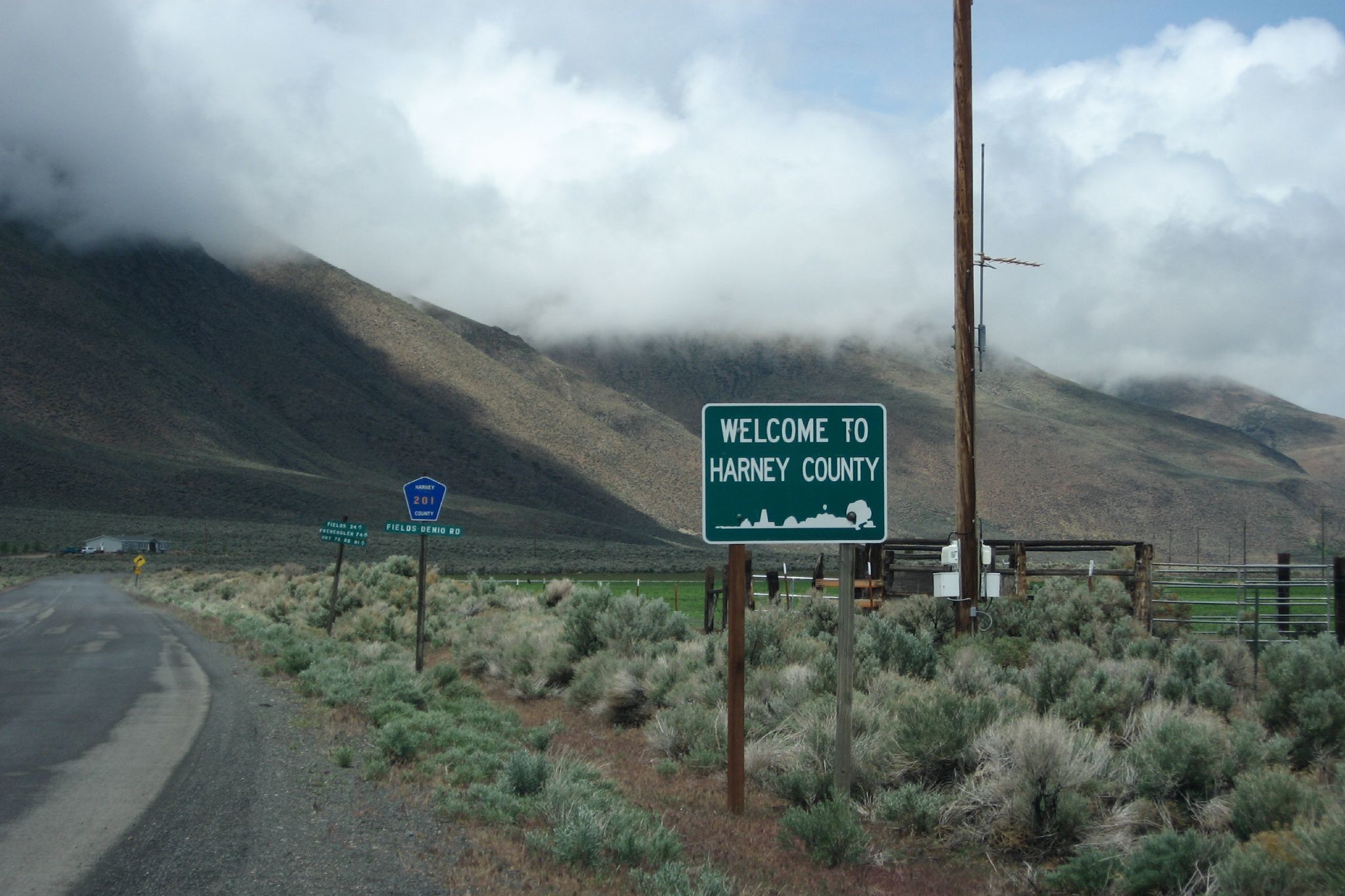
While 2016 made “Malheur” synonymous with an antigovernment armed occupation, the Malheur National Wildlife Refuge is not in Malheur but neighboring Harney County. Together, Oregon’s two largest counties make up 20 percent of the state, but are crossed by so few roads that traveling can require careful planning to avoid running out of gas or (perhaps more critically) snacks. Wanderers will also want to make sure they have plenty of available camera memory—or plenty of rolls of old-school film.
Photo Ops Galore
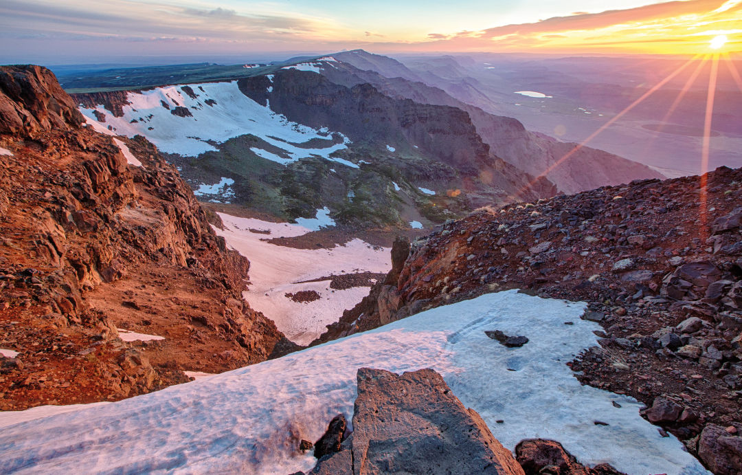
After the occupation, the headquarters of the Malheur National Wildlife Refuge remained closed for 14 months for repairs and security upgrades. But the refuge’s well-signed scenic drives could still reward with sightings of pelicans, mule deer, pronghorn antelope, magpies, cranes, herons, and countless seasonal visitors—the skies get especially crowded in early April, when Harney County hosts a migratory bird festival. South of the refuge and Malheur Lake, at the Pete French Round Barn and visitors center/bookstore travelers can get steeped in the area’s history—from the original Paiute residents to 19th-century Basque immigrants—and share trails with rattlesnakes. A drive through the volcanic basalt formations of the Diamond Craters and along the curving gorges of the looming Steens Mountain should tide you over till you can make it to the moon. Straddling the state border is the Owyhee Canyonlands—much of which is more easily accessed by crossing into Idaho and back (or, heck, just fly to Boise and rent a car)—where the otherworldly Jordan Craters, Leslie Gulch, and Juniper Canyon offer a geology degree’s worth of ever-changing landscapes and recent lava flows. Malheur’s tiny county seat, Vale, is home to old-time Americana in the form of historical murals, the sadly shuttered Rex Theatre, and a Bates Motel (not the Bates Motel). Throughout the area, collapsed hay barns and storage facilities for the winter-decimated onion industry put Portland’s post-snowpocalypse potholes in perspective.
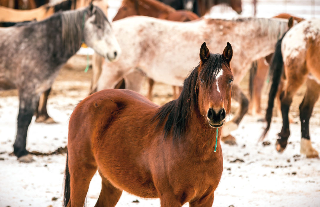
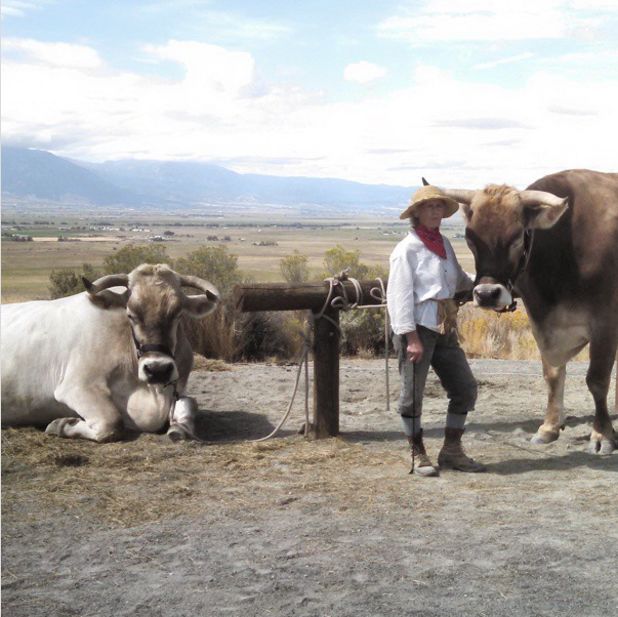
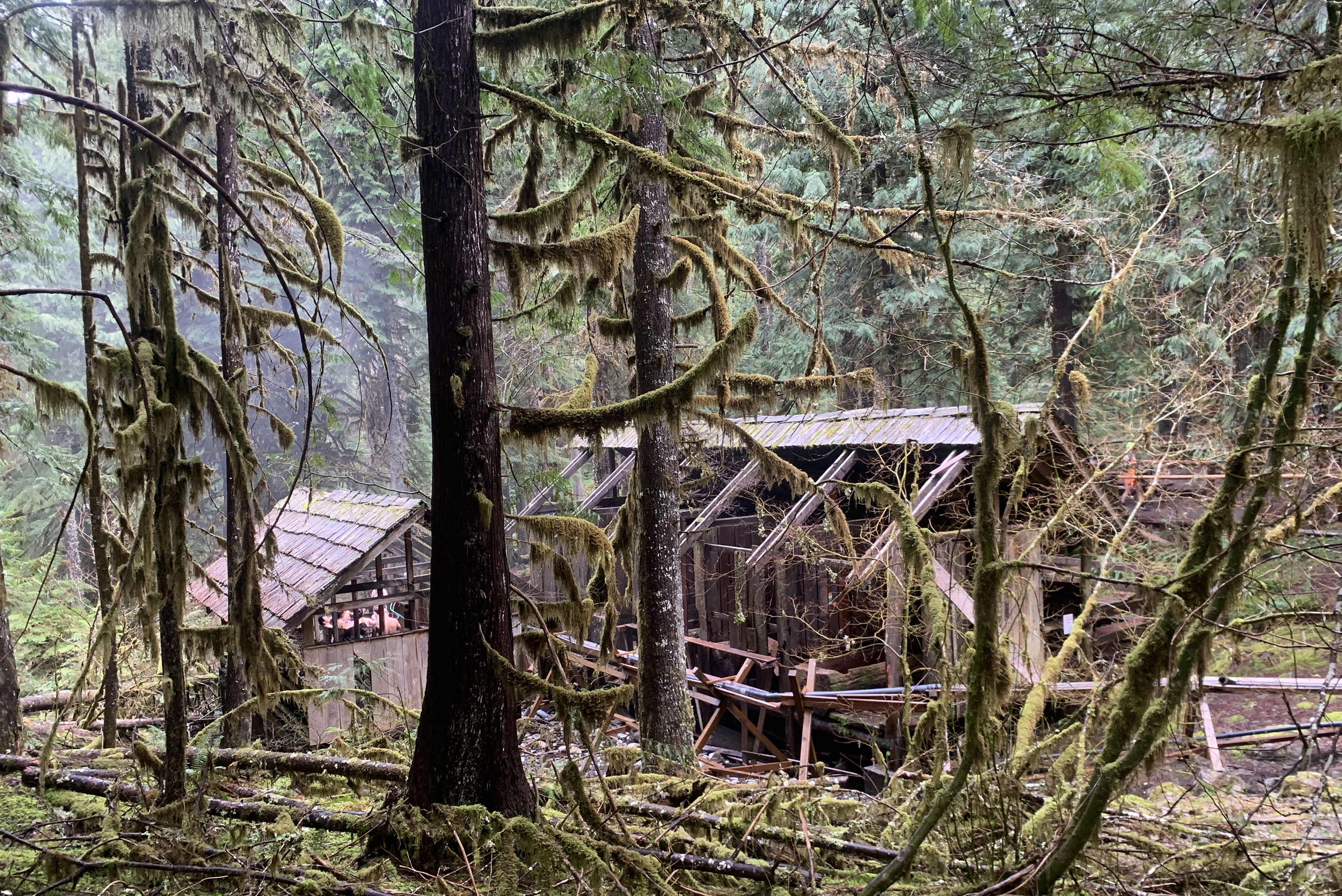
The Wild Horse Corral Facility near Burns (adoption info upon request!).
Image: Courtesy Greg Shine/BLM
Sleep and Soak
While heavy rain can cool the pond down, the usually 100-degrees-plus Crystal Crane Hot Springs, southeast of Burns, is an easy-access, year-round soaker’s paradise, complete with big-sky and high-desert views. For maximum water contact, book the seasonally available tipi (with its own tub inside), the springs’ fifth-wheel trailer, or one of the private cabins, lodge rooms, campsites, or RV spots. Rooms from $48, tipi from $75.
Eat and Drink
In Malheur County’s biggest city, Ontario, sample Beer Valley’s Leafer Madness and Owyhee Amber at Brewsky’s Broiler or Tandem Brewing’s Bunny Hop Rye and Beer Whisperer IPA in the space it shares with Jolts and Juice coffee shop. Fields, Oregon, an old stagecoach stop about 20 miles from the Nevada border, refreshes today’s travelers with celebrated milkshakes, burgers, eight beer taps, and a motel at Fields Station. Another oasis on a stretch with few services, Juntura’s Oasis Café on Highway 20 between Burns and Vale offers homemade fudge, diner standbys, and a gift shop full of local crafts and cigar boxes.
Distance from Portland: 5½ hours to Crystal Crane Hot Springs or the Malheur National Wildlife Refuge, 8 hours to Owyhee Canyonlands trails