Afternoon Delights
North Portland’s Smith and Bybee Wetlands
Image: Courtesy Mark Gamba
KEY: H – Hike, B – Bike, W – Water Route
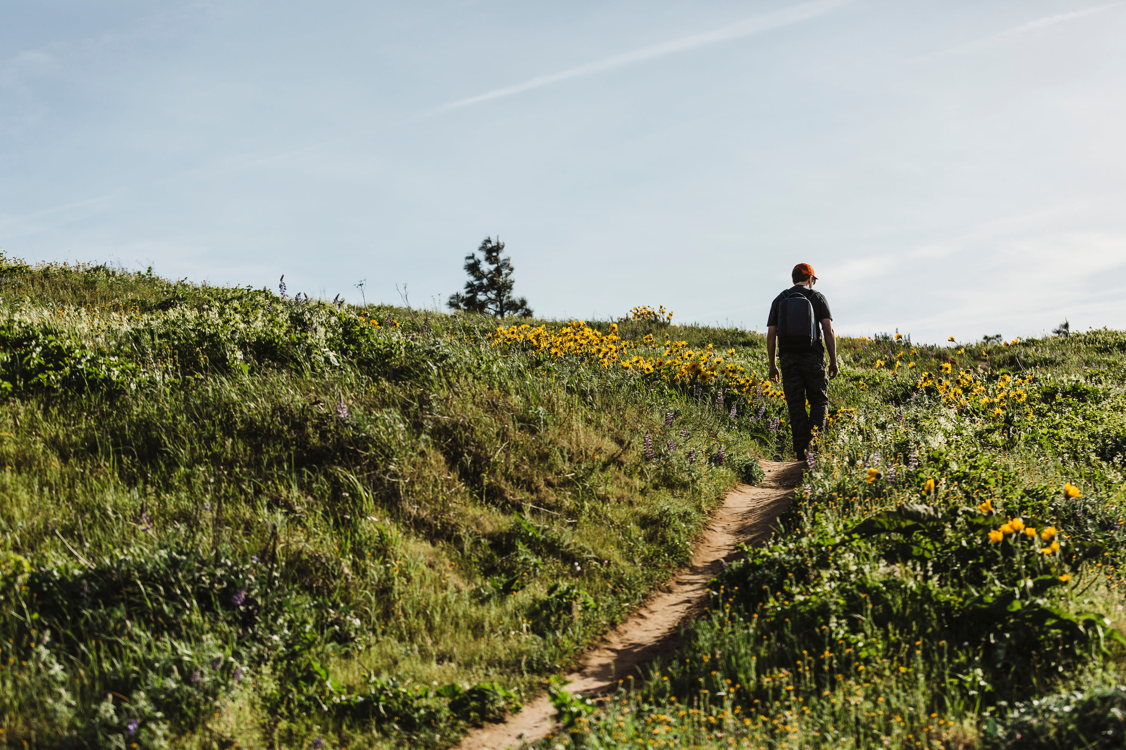
4T Trail | H
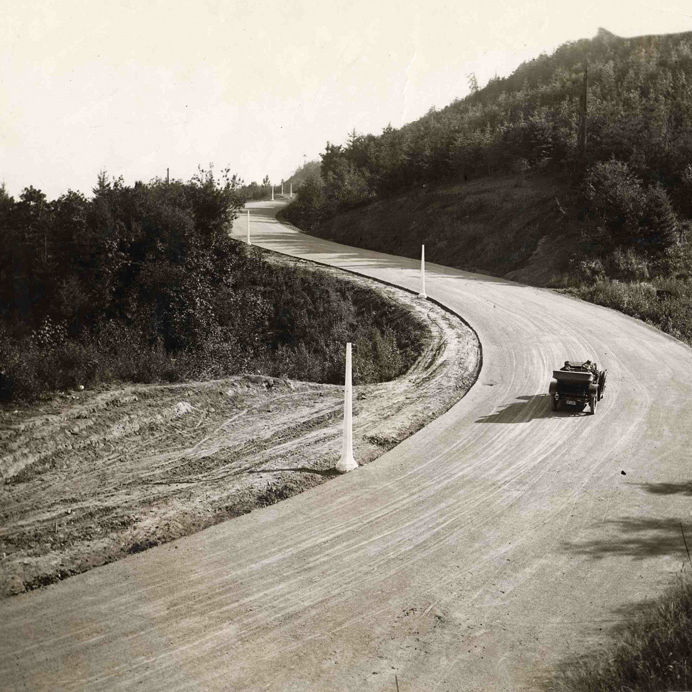
This city-meets-wilderness circuit got its name from the modes of travel you’ll use: MAX trains, hiking trails, trollies (a.k.a. the Portland Streetcar), and the Portland Aerial Tram. Start downtown by boarding the westbound MAX to Washington Park. Newly added trail signs lead hikers over Highway 26, to a switchbacking climb up the rugged West Hills to Council Crest, the city’s mightiest perch at 1,073 feet. The five-volcano panorama is worth the trip alone. Next, descend through a thickly wooded ravine to Marquam Nature Park, and begin the climb to Oregon Health & Science University. Your reward? A scenic (and, in this direction, free) glide down the Portland Aerial Tram. Return via the Portland Streetcar. Transit fare required. Access: Washington Park MAX station
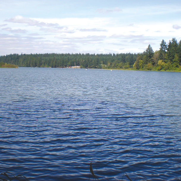
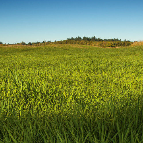
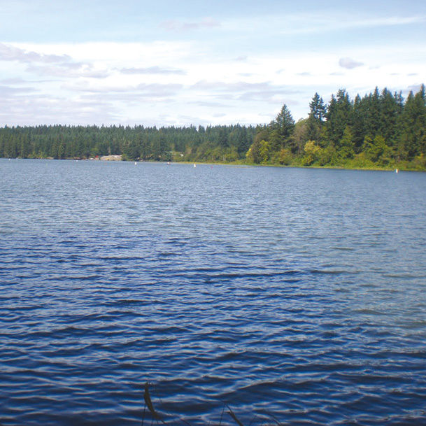
Smith and Bybee Wetlands | W, H
Hidden amid the terminals and warehouses where the Willamette meets the Columbia, within minutes of downtown St. Johns, sit Smith and Bybee Lakes, the cornerstones of three square miles of restored marshland. The short Interlakes Trail cuts between the two, offering hikers access to bird blinds. But a boat is the real ticket to sampling the wealth of wildlife, from egrets to blacktail deer and muskrats. As the water levels lower this month, look for an abundant population of western painted turtles sunbathing on logs. Access: From I-5 exit 307, go west on N Marine Drive for 2.2 miles to Smith Lake boat launch.
Warrior Rock Lighthouse Trail | H
Beach towels top the gear list needed to enjoy this six-mile, round-trip trek to the northern tip of Sauvie Island. Roughly three miles of sandy shores line the eastern edges of trail, but nothing is more scenic than the cape’s tip, where you’ll find a sun-bleached (and still-functioning) lighthouse and a deserted, coastal-quality beach. Daily $7 parking pass required; available at the Cracker Barrel Grocery. Access: End of NW Reeder Road
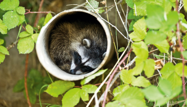
Photo: Courtesy Mark Gamba
Wildlife sighting along the Columbia Slough
Powell Butte | H, B
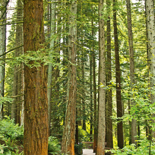
A project to bury a 50-million-gallon water storage tank beneath Powell Butte means intermittent trailhead closures here through January 2013. But don’t let the Portland Water Bureau’s “big dig” deter an outing to this underappreciated east-side destination. For starters, fat-tire fans still have access to the 600-acre butte’s singletrack on the Elderberry and Blacktail Deer Trails. And thanks to thick groves of red cedars and large firs, the dump trucks and diggers stay mostly hidden. From Powell Butte’s upland meadow, you’ll score a range of Cascadian splendor, including clumps of lupines and views of four volcanoes. Access: Vivian Pump Station (14424 SE Center St) or the Springwater Corridor (just past SE 136th Ave)
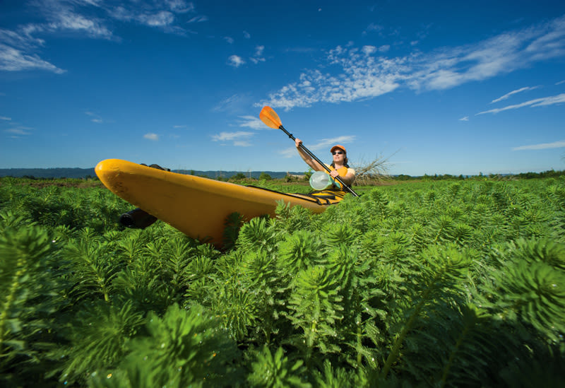
Columbia Slough | W
Miles of flat water make the Columbia Slough catnip to budding paddlers. But even veteran boaters crave floats here to explore Big Four Corners Natural Area, a 200-acre expanse of wetlands rung by tufts of willows, black cottonwoods, and immense Oregon oaks, all virtually inaccessible by foot. During an hourlong paddle to Fairview Lake in Gresham it’s possible to reel in multiple sightings of red-legged frogs, otters, raccoons, and an army of birds. Access: Parking lot just south of NE 166th Avenue and NE Airport Way
Post-Trail Watering Hole
The Old Gold
The elk burger with cherry relish hooks many a happy hour–goer, as do the excellent taps, with überlocal picks like NoPo-based Occidental Brewing and $2 pours of Rainier. 2105 N Killingsworth St; theoldgoldpdx.com
While You’re Out
Three half-hour nature fixes
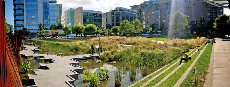
Tanner Springs Park
Fresh off the 4T trail? Consider riding the streetcar right to this unexpectedly serene urban wetland burrowed into the northern edge of the Pearl District. From the stadium-like benches, survey wavy grasses, small ponds, and the occasional osprey. NW 10th Avenue and Marshall Street
Leach Botanical Garden
Tucked into a deep ravine hollowed out by Johnson Creek, Leach’s trails invite short, well-shaded strolls packed with local color—more than 2,000 specimens of shrubs, wildflowers, and other plants reside here. A mossy stone cottage and river rock cobbled fireplace add a Grimm fairy-tale vibe. 6704 SE 122nd Ave
Kelley Point Park
Groves of black cottonwoods and sun-soaked meadows at the confluence of the Willamette and Columbia Rivers provide a welcome break from Portland’s conifer-heavy forests. Any number of side trails offer a river-chilled breeze and sights of Caspian terns. Kelley Point Park Road (at the west end of N Marine Drive)